Wiley Park Suburbs & Region, Wiley Park Map & Postcodes
Wiley Park Suburbs & Region, Wiley Park Map & Postcodes in Wiley Park, Canterbury, Sydney Inner South West, NSW, AU
Wiley Park Region
Region Name
Wiley Park (NSW, AU)Wiley Park Area
1.39 square kilometers (1.39 ㎢)Postal Codes
2195 (In total, there are 1 postcodes in Wiley Park.)Wiley Park Introduction
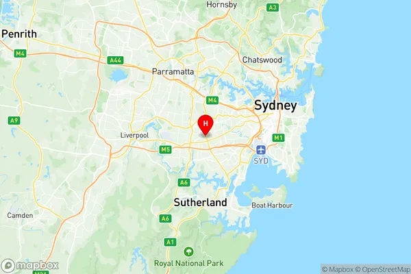
Wiley Park is a suburb located in the Inner South West of Sydney, New South Wales, Australia. It is situated 6 kilometers south of the Sydney central business district and is part of the City of Canada Bay. The suburb is named after John Wiley, who was a landowner in the area in the 1800s. Wiley Park is a diverse community with a mix of residential, commercial, and industrial areas. The suburb has a large population of immigrants, particularly from South Asia and the Middle East, and is known for its vibrant cultural scene. The area is well-serviced by public transportation, with several bus routes and a train station located within walking distance. Wiley Park also has a number of parks and recreational facilities, including a cricket ground, a tennis court, and a basketball court. The suburb is home to a number of major businesses, including a supermarket, a pharmacy, and a medical center.Australia State
City or Big Region
Greater Capital City
Greater Sydney (1GSYD)District or Regional Area
Suburb Name
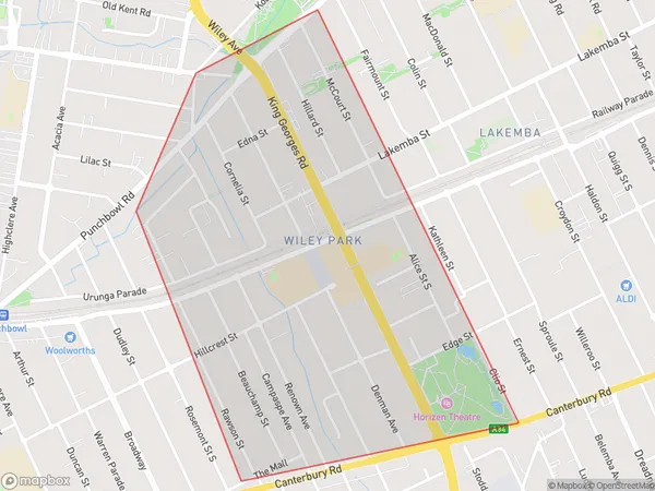
Wiley Park Region Map

Wiley Park Postcodes / Zip Codes
Wiley Park Suburbs
Wiley Park full address
Wiley Park, Canterbury, Sydney Inner South West, New South Wales, NSW, Australia, SaCode: 119021574Country
Wiley Park, Canterbury, Sydney Inner South West, New South Wales, NSW, Australia, SaCode: 119021574
Wiley Park Suburbs & Region, Wiley Park Map & Postcodes has 0 areas or regions above, and there are 1 Wiley Park suburbs below. The sa2code for the Wiley Park region is 119021574. Its latitude and longitude coordinates are -33.9229,151.068. Wiley Park area belongs to Australia's greater capital city Greater Sydney.
Wiley Park Suburbs & Localities
1. Wiley Park
