Wiley Park Area, Wiley Park Postcode(2195) & Map in Wiley Park, Sydney - Inner South West, NSW
Wiley Park Area, Wiley Park Postcode(2195) & Map in Wiley Park, Sydney - Inner South West, NSW, AU, Postcode: 2195
Wiley Park, Wiley Park, Canterbury, Sydney - Inner South West, New South Wales, Australia, 2195
Wiley Park Postcode
Area Name
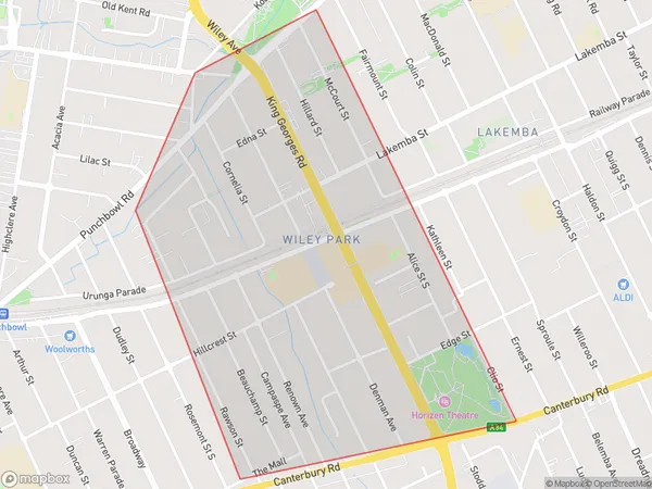
Wiley ParkWiley Park Suburb Area Map (Polygon)

Wiley Park Introduction
Wiley Park is a small residential suburb located in the Inner South West of Sydney, New South Wales, Australia. It is situated between the suburbs of Homebush Bay and Strathfield and is bordered by the Georges River to the north. Wiley Park is known for its peaceful atmosphere, tree-lined streets, and well-maintained parks and gardens. The suburb has a small shopping center with a variety of stores and cafes, as well as a community center and a public library. Wiley Park is a popular residential area for families and young professionals due to its convenient location, affordable housing, and excellent transport links.State Name
City or Big Region
District or Regional Area
Suburb Name
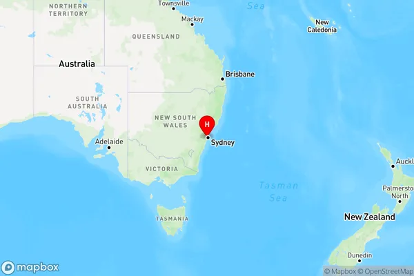
Wiley Park Region Map

Country
Main Region in AU
R1Coordinates
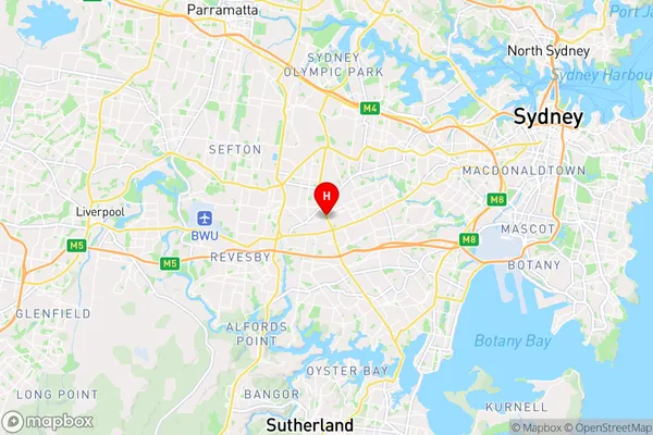
-33.9228671,151.0683887 (latitude/longitude)Wiley Park Area Map (Street)

Longitude
151.076939Latitude
-33.924525Wiley Park Elevation
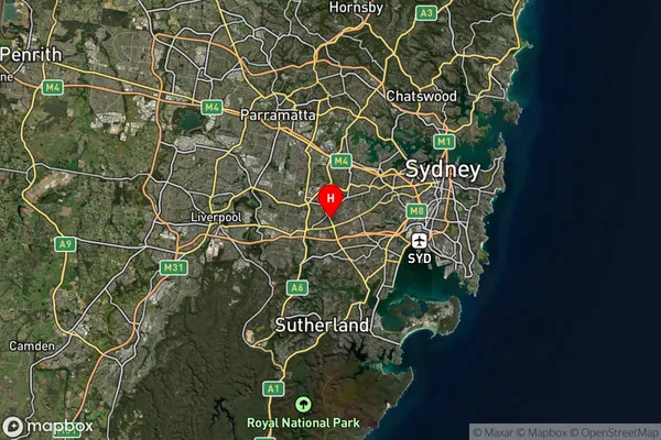
about -3492.00 meters height above sea level (Altitude)Wiley Park Suburb Map (Satellite)

Distances
The distance from Wiley Park, Sydney - Inner South West, NSW to AU Greater Capital CitiesSA1 Code 2011
11902136534SA1 Code 2016
11902157401SA2 Code
119021574SA3 Code
11902SA4 Code
119RA 2011
1RA 2016
1MMM 2015
1MMM 2019
1Charge Zone
N1LGA Region
Canterbury-BankstownLGA Code
11570Electorate
Watson