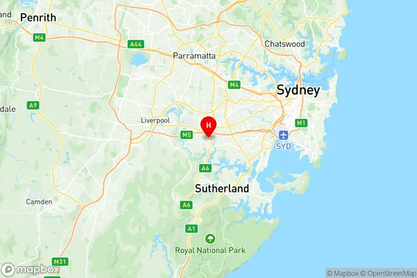
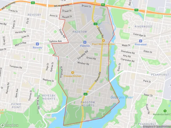
Padstow Suburbs & Region, Padstow Map & Postcodes
Padstow Suburbs & Region, Padstow Map & Postcodes in Padstow, Canterbury, Sydney Inner South West, NSW, AU
Padstow Region
Region Name
Padstow (NSW, AU)Padstow Area
6.51 square kilometers (6.51 ㎢)Padstow Introduction
Padstow is a suburb in Sydney, New South Wales, Australia. It is located 12 kilometers south of Sydney's central business district and is part of the Georges River Council. Padstow is known for its beautiful beaches, vibrant restaurant scene, and popular weekend markets. The suburb has a rich history, with evidence of early settlement dating back to the 18th century. It is also home to the Padstow Ferry, which provides a direct link to Sydney's CBD.Australia State
City or Big Region
Greater Capital City
Greater Sydney (1GSYD)District or Regional Area
Suburb Name
Padstow Region Map

Padstow Suburbs
Padstow full address
Padstow, Canterbury, Sydney Inner South West, New South Wales, NSW, Australia, SaCode: 119011358Country
Padstow, Canterbury, Sydney Inner South West, New South Wales, NSW, Australia, SaCode: 119011358
Padstow Suburbs & Region, Padstow Map & Postcodes has 0 areas or regions above, and there are 0 Padstow suburbs below. The sa2code for the Padstow region is 119011358. Its latitude and longitude coordinates are -33.9505,151.031. Padstow area belongs to Australia's greater capital city Greater Sydney.
