Lakemba Suburbs & Region, Lakemba Map & Postcodes
Lakemba Suburbs & Region, Lakemba Map & Postcodes in Lakemba, Canterbury, Sydney Inner South West, NSW, AU
Lakemba Region
Region Name
Lakemba (NSW, AU)Lakemba Area
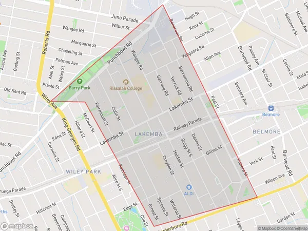
2.19 square kilometers (2.19 ㎢)Lakemba Introduction
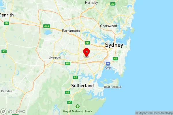
Lakemba is a suburb in Sydney, New South Wales, Australia, 13 kilometers southwest of the Sydney central business district. It is part of the City of Canterbury-Bankstown and is located in the Canterbury-Bankstown local government area. Lakemba is a predominantly Muslim suburb with a large Lebanese community. The suburb has a large shopping center, a mosque, and several parks. It is also home to the Lakemba railway station, which is on the Bankstown line of the Sydney Trains network.Australia State
City or Big Region
Greater Capital City
Greater Sydney (1GSYD)District or Regional Area
Suburb Name
Lakemba Region Map

Lakemba Suburbs
Lakemba full address
Lakemba, Canterbury, Sydney Inner South West, New South Wales, NSW, Australia, SaCode: 119021573Country
Lakemba, Canterbury, Sydney Inner South West, New South Wales, NSW, Australia, SaCode: 119021573
Lakemba Suburbs & Region, Lakemba Map & Postcodes has 0 areas or regions above, and there are 0 Lakemba suburbs below. The sa2code for the Lakemba region is 119021573. Its latitude and longitude coordinates are -33.92,151.077. Lakemba area belongs to Australia's greater capital city Greater Sydney.
