Bexley Suburbs & Region, Bexley Map & Postcodes
Bexley Suburbs & Region, Bexley Map & Postcodes in Bexley, Kogarah Rockdale, Sydney Inner South West, NSW, AU
Bexley Region
Region Name
Bexley (NSW, AU)Postal Codes
2207 (In total, there are 1 postcodes in Bexley.)Bexley Introduction
Bexley is a suburb in the Inner South-West of Sydney, in New South Wales, Australia. It is located 12 kilometers south-west of the Sydney central business district and is part of the Georges River Council. Bexley is a predominantly residential area with a mix of medium-density housing and some commercial properties. The suburb has a large Greek community and is known for its vibrant restaurant and shopping scene. Bexley also has several parks and recreational facilities, including Bexley Park and Bexley Oval. The area is well-serviced by public transport with several bus routes and a train station.Australia State
City or Big Region
District or Regional Area
Suburb Name
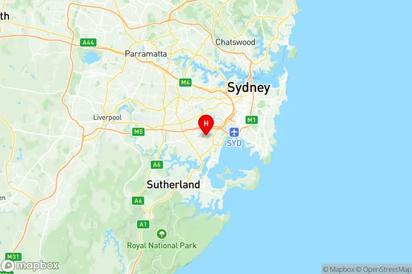
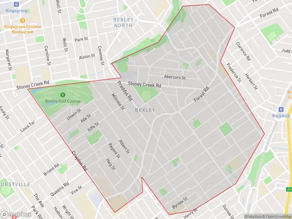
Bexley Region Map

Bexley Postcodes / Zip Codes
Bexley Suburbs
Bexley full address
Bexley, Kogarah Rockdale, Sydney Inner South West, New South Wales, NSW, Australia, SaCode: 119041376Country
Bexley, Kogarah Rockdale, Sydney Inner South West, New South Wales, NSW, Australia, SaCode: 119041376
Bexley Suburbs & Region, Bexley Map & Postcodes has 0 areas or regions above, and there are 2 Bexley suburbs below. The sa2code for the Bexley region is 119041376. Its latitude and longitude coordinates are -33.9525,151.123.
Bexley Suburbs & Localities
1. Bexley
2. Bexley South
