Ramsgate Beach Area, Ramsgate Beach Postcode(2217) & Map in Ramsgate Beach, Sydney - Inner South West, NSW
Ramsgate Beach Area, Ramsgate Beach Postcode(2217) & Map in Ramsgate Beach, Sydney - Inner South West, NSW, AU, Postcode: 2217
Ramsgate Beach, Sans Souci - Ramsgate, Kogarah - Rockdale, Sydney - Inner South West, New South Wales, Australia, 2217
Ramsgate Beach Postcode
Area Name
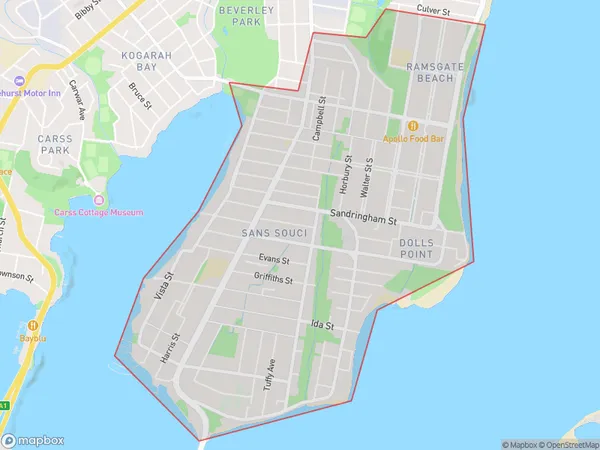
Ramsgate BeachRamsgate Beach Suburb Area Map (Polygon)

Ramsgate Beach Introduction
Ramsgate Beach is a picturesque coastal suburb located in Sydney's Inner South West, known for its tranquil atmosphere, beautiful beaches, and stunning coastal walks. It is a popular destination for families and outdoor enthusiasts, with a variety of recreational facilities and a laid-back community vibe. The beach is patrolled by lifeguards during the swimming season and offers a range of activities such as surfing, swimming, and beach volleyball. There are also several parks and picnic areas nearby, making it an ideal place for a day out with friends and family.State Name
City or Big Region
District or Regional Area
Suburb Name
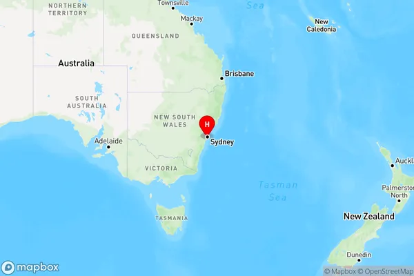
Ramsgate Beach Region Map

Country
Main Region in AU
R1Coordinates
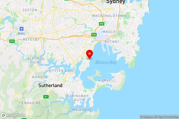
-33.982,151.148 (latitude/longitude)Ramsgate Beach Area Map (Street)

Longitude
151.140345Latitude
-33.974354Ramsgate Beach Elevation
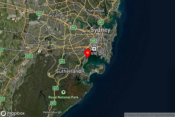
about 4.55 meters height above sea level (Altitude)Ramsgate Beach Suburb Map (Satellite)

Distances
The distance from Ramsgate Beach, Sydney - Inner South West, NSW to AU Greater Capital CitiesSA1 Code 2011
11904138227SA1 Code 2016
11904138227SA2 Code
119041382SA3 Code
11904SA4 Code
119RA 2011
1RA 2016
1MMM 2015
1MMM 2019
1Charge Zone
N1LGA Region
BaysideLGA Code
10500Electorate
Cook