Kyle Bay Area, Kyle Bay Postcode(2221) & Map in Kyle Bay, Sydney - Inner South West, NSW
Kyle Bay Area, Kyle Bay Postcode(2221) & Map in Kyle Bay, Sydney - Inner South West, NSW, AU, Postcode: 2221
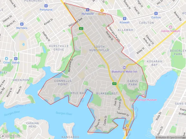
Kyle Bay, South Hurstville - Blakehurst, Hurstville, Sydney - Inner South West, New South Wales, Australia, 2221
Kyle Bay Postcode
Area Name
Kyle BayKyle Bay Suburb Area Map (Polygon)

Kyle Bay Introduction
Kyle Bay is a picturesque coastal suburb located in the Inner South West of Sydney, New South Wales, Australia. It is known for its stunning beaches, lush parks, and vibrant community. The area is home to a diverse range of people and offers a peaceful and relaxed lifestyle away from the hustle and bustle of the city. Kyle Bay is also a popular destination for water sports enthusiasts, with its calm waters and sheltered bays ideal for kayaking, paddle boarding, and snorkeling.State Name
City or Big Region
District or Regional Area
Suburb Name
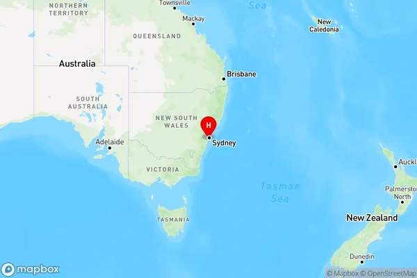
Kyle Bay Region Map

Country
Main Region in AU
R1Coordinates
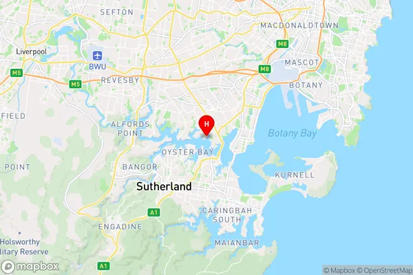
-33.9911107,151.1002727 (latitude/longitude)Kyle Bay Area Map (Street)

Longitude
151.10599Latitude
-33.992159Kyle Bay Elevation
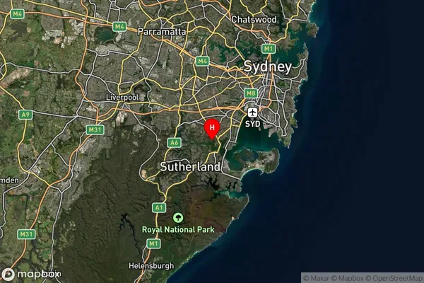
about 24.71 meters height above sea level (Altitude)Kyle Bay Suburb Map (Satellite)

Distances
The distance from Kyle Bay, Sydney - Inner South West, NSW to AU Greater Capital CitiesSA1 Code 2011
11903137439SA1 Code 2016
11903137439SA2 Code
119031374SA3 Code
11903SA4 Code
119RA 2011
1RA 2016
1MMM 2015
1MMM 2019
1Charge Zone
N1LGA Region
Georges RiverLGA Code
12930Electorate
Cook