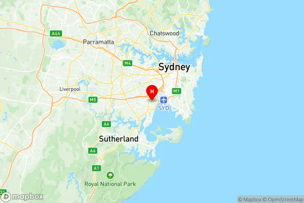
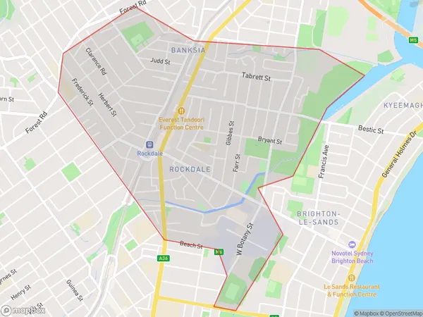
Rockdale Banksia Suburbs & Region, Rockdale Banksia Map & Postcodes
Rockdale Banksia Suburbs & Region, Rockdale Banksia Map & Postcodes in Rockdale Banksia, Kogarah Rockdale, Sydney Inner South West, NSW, AU
Rockdale Banksia Region
Region Name
Rockdale Banksia (NSW, AU)Rockdale Banksia Area
3.58 square kilometers (3.58 ㎢)Postal Codes
2216 (In total, there are 1 postcodes in Rockdale Banksia.)Rockdale Banksia Introduction
The 'Rockdale Banksia' is a rare and endangered species of Banksia found in the Sydney Inner South West region of New South Wales, Australia. It is known for its distinctive pink and yellow flowers and is found only in a small area of rocky terrain. The plant is threatened by habitat loss, weed invasion, and climate change, and is listed as endangered on the New South Wales State Heritage Register. Conservation efforts are underway to protect and preserve this unique species.Australia State
City or Big Region
Greater Capital City
Greater Sydney (1GSYD)District or Regional Area
Suburb Name
Rockdale Banksia Region Map

Rockdale Banksia Postcodes / Zip Codes
Rockdale Banksia Suburbs
Rockdale Banksia full address
Rockdale Banksia, Kogarah Rockdale, Sydney Inner South West, New South Wales, NSW, Australia, SaCode: 119041381Country
Rockdale Banksia, Kogarah Rockdale, Sydney Inner South West, New South Wales, NSW, Australia, SaCode: 119041381
Rockdale Banksia Suburbs & Region, Rockdale Banksia Map & Postcodes has 0 areas or regions above, and there are 3 Rockdale Banksia suburbs below. The sa2code for the Rockdale Banksia region is 119041381. Its latitude and longitude coordinates are -33.9478,151.148. Rockdale Banksia area belongs to Australia's greater capital city Greater Sydney.
Rockdale Banksia Suburbs & Localities
1. Rockdale
2. Banksia
3. Rockdale Dc
