Hurstville Westfield Area, Hurstville Westfield Postcode(2220) & Map in Hurstville Westfield, Sydney - Inner South West, NSW
Hurstville Westfield Area, Hurstville Westfield Postcode(2220) & Map in Hurstville Westfield, Sydney - Inner South West, NSW, AU, Postcode: 2220
Hurstville Westfield, Hurstville, Hurstville, Sydney - Inner South West, New South Wales, Australia, 2220
Hurstville Westfield Postcode
Area Name
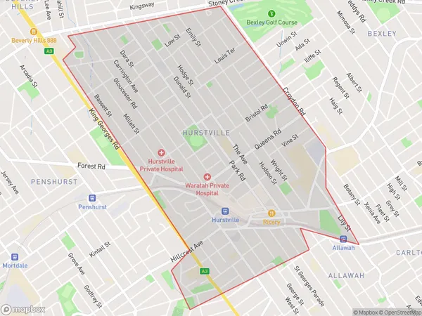
Hurstville WestfieldHurstville Westfield Suburb Area Map (Polygon)

Hurstville Westfield Introduction
Hurstville Westfield is a large shopping centre located in the inner-south-west of Sydney, New South Wales, Australia. It is one of the largest shopping centres in the Southern Hemisphere and is home to over 300 stores, including major retailers such as Westfield, Myer, and David Jones. The centre also features a variety of dining options, a cinema complex, and a community centre.State Name
City or Big Region
District or Regional Area
Suburb Name
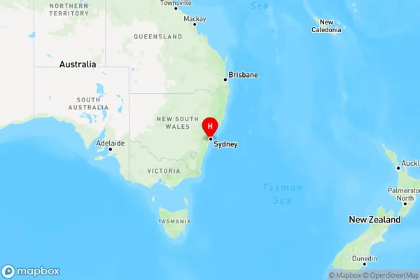
Hurstville Westfield Region Map

Country
Main Region in AU
R1Coordinates
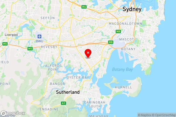
-33.966189,151.1051663 (latitude/longitude)Hurstville Westfield Area Map (Street)

Longitude
151.101764Latitude
-33.966692Hurstville Westfield Elevation
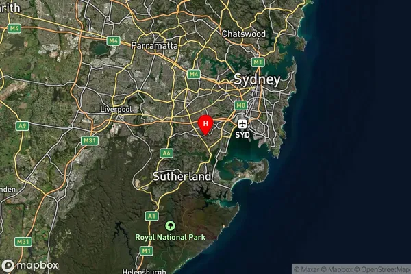
about 69.98 meters height above sea level (Altitude)Hurstville Westfield Suburb Map (Satellite)

Distances
The distance from Hurstville Westfield, Sydney - Inner South West, NSW to AU Greater Capital CitiesSA1 Code 2011
11903136830SA1 Code 2016
11903136830SA2 Code
119031368SA3 Code
11903SA4 Code
119RA 2011
1RA 2016
1MMM 2015
1MMM 2019
1Charge Zone
N1LGA Region
Georges RiverLGA Code
12930Electorate
Barton