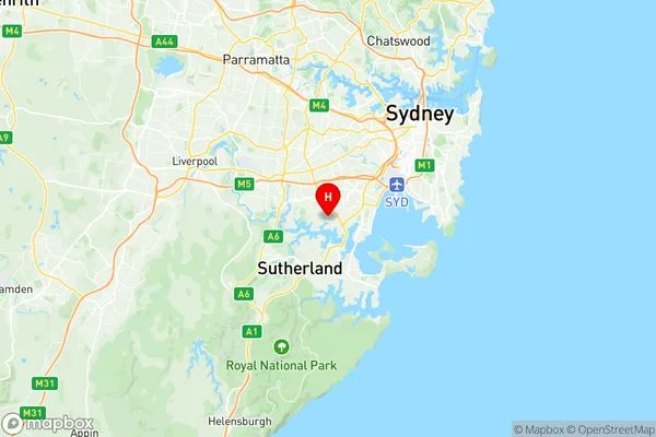
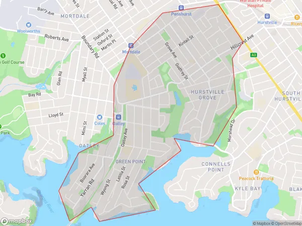
Oatley Hurstville Grove Suburbs & Region, Oatley Hurstville Grove Map & Postcodes
Oatley Hurstville Grove Suburbs & Region, Oatley Hurstville Grove Map & Postcodes in Oatley Hurstville Grove, Kogarah Rockdale, Sydney Inner South West, NSW, AU
Oatley Hurstville Grove Region
Region Name
Oatley Hurstville Grove (NSW, AU)Oatley Hurstville Grove Area
4.35 square kilometers (4.35 ㎢)Postal Codes
2220 (In total, there are 1 postcodes in Oatley Hurstville Grove.)Oatley Hurstville Grove Introduction
Oatley Hurstville Grove is a suburb located in the Inner South West region of Sydney, New South Wales, Australia. It is situated 12 kilometers south of the Sydney central business district and is part of the Georges River Council. The suburb is named after the Oatley family, who were early landholders in the area. Oatley Hurstville Grove is a well-established residential area with a mix of apartments, townhouses, and single-family homes. The suburb has a variety of shopping centers, including Hurstville Grove Shopping Village, which features a supermarket, specialty stores, and cafes. There are also several parks and recreational facilities, including Oatley Park, which has a playground, sports fields, and a swimming pool. The suburb is well-connected to public transport, with several bus routes serving the area and a train station located within walking distance. The Sydney Airport is also easily accessible, with a short drive or train ride. Oatley Hurstville Grove is a family-friendly suburb with a strong sense of community. It is known for its quiet streets, leafy parks, and excellent schools. The suburb has a diverse population, with a mix of young professionals, families, and retirees. In conclusion, Oatley Hurstville Grove is a well-established residential suburb with a variety of amenities and a convenient location. It is a popular choice for families and professionals looking for a quiet andAustralia State
City or Big Region
Greater Capital City
Greater Sydney (1GSYD)District or Regional Area
Suburb Name
Oatley Hurstville Grove Region Map

Oatley Hurstville Grove Postcodes / Zip Codes
Oatley Hurstville Grove Suburbs
Oatley Hurstville Grove full address
Oatley Hurstville Grove, Kogarah Rockdale, Sydney Inner South West, New South Wales, NSW, Australia, SaCode: 119031371Country
Oatley Hurstville Grove, Kogarah Rockdale, Sydney Inner South West, New South Wales, NSW, Australia, SaCode: 119031371
Oatley Hurstville Grove Suburbs & Region, Oatley Hurstville Grove Map & Postcodes has 0 areas or regions above, and there are 1 Oatley Hurstville Grove suburbs below. The sa2code for the Oatley Hurstville Grove region is 119031371. Its latitude and longitude coordinates are -33.9797,151.093. Oatley Hurstville Grove area belongs to Australia's greater capital city Greater Sydney.
Oatley Hurstville Grove Suburbs & Localities
1. Hurstville Grove
