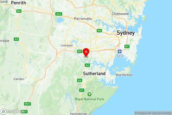
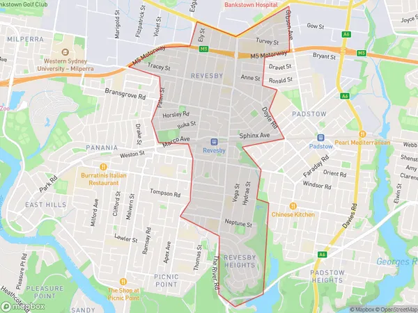
Revesby Suburbs & Region, Revesby Map & Postcodes
Revesby Suburbs & Region, Revesby Map & Postcodes in Revesby, Bankstown, Sydney Inner South West, NSW, AU
Revesby Region
Region Name
Revesby (NSW, AU)Revesby Area
5.09 square kilometers (5.09 ㎢)Revesby Introduction
Revesby is a suburb in southern Sydney, in the state of New South Wales, Australia. It is located 20 kilometers south of the Sydney central business district and is part of the City of Canterbury-Bankstown. Revesby is a diverse suburb with a mix of residential, commercial, and industrial areas. It is home to a large number of immigrants, particularly from South Asia and the Middle East. The suburb has a number of parks and recreational facilities, including the Revesby Workers Club, which is a popular meeting place for locals. Revesby is also home to a number of schools, including Revesby Public School and Revesby Girls High School. The suburb is well-connected to public transport, with the Revesby railway station providing services to Sydney and the South Coast.Australia State
City or Big Region
Greater Capital City
Greater Sydney (1GSYD)District or Regional Area
Suburb Name
Revesby Region Map

Revesby Suburbs
Revesby full address
Revesby, Bankstown, Sydney Inner South West, New South Wales, NSW, Australia, SaCode: 119011360Country
Revesby, Bankstown, Sydney Inner South West, New South Wales, NSW, Australia, SaCode: 119011360
Revesby Suburbs & Region, Revesby Map & Postcodes has 0 areas or regions above, and there are 0 Revesby suburbs below. The sa2code for the Revesby region is 119011360. Its latitude and longitude coordinates are -33.9681,151.018. Revesby area belongs to Australia's greater capital city Greater Sydney.
