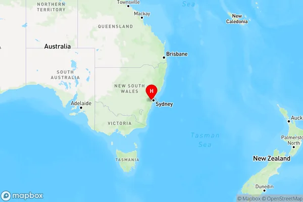
Edmondson Park Area, Edmondson Park Postcode(2174) & Map in Edmondson Park, Sydney - South West, NSW
Edmondson Park Area, Edmondson Park Postcode(2174) & Map in Edmondson Park, Sydney - South West, NSW, AU, Postcode: 2174
Edmondson Park, Prestons - Edmondson Park, Liverpool, Sydney - South West, New South Wales, Australia, 2174
Edmondson Park Postcode
Area Name
Edmondson ParkEdmondson Park Suburb Area Map (Polygon)

Edmondson Park Introduction
Edmondson Park is a suburb in the South West Sydney region of New South Wales, Australia. It is located 25 kilometers from the Sydney central business district and is part of the City of Canada Bay. The suburb is named after John Edmondson, who was a landowner and politician in the area. It is known for its large park, which includes a playground, picnic areas, and walking trails. The park is a popular destination for locals and visitors alike and is home to a variety of wildlife, including birds and insects.State Name
City or Big Region
District or Regional Area
Suburb Name
Edmondson Park Region Map

Country
Main Region in AU
R1Coordinates
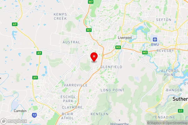
-33.9652,150.858 (latitude/longitude)Edmondson Park Area Map (Street)

Longitude
150.856709Latitude
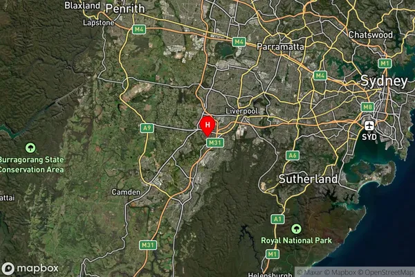
-33.977497Edmondson Park Suburb Map (Satellite)

Distances
The distance from Edmondson Park, Sydney - South West, NSW to AU Greater Capital CitiesSA1 Code 2011
12703152648SA1 Code 2016
12703160022SA2 Code
127031600SA3 Code
12703SA4 Code
127RA 2011
1RA 2016
1MMM 2015
1MMM 2019
1Charge Zone
N1LGA Region
LiverpoolLGA Code
14900Electorate
Werriwa