Cecil Park Area, Cecil Park Postcode(2178) & Map in Cecil Park, Sydney - South West, NSW
Cecil Park Area, Cecil Park Postcode(2178) & Map in Cecil Park, Sydney - South West, NSW, AU, Postcode: 2178
Cecil Park, Horsley Park - Kemps Creek, Fairfield, Sydney - South West, New South Wales, Australia, 2178
Cecil Park Postcode
Area Name
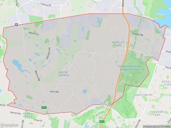
Cecil ParkCecil Park Suburb Area Map (Polygon)

Cecil Park Introduction
Cecil Park is a large urban park located in the southwest of Sydney, New South Wales, Australia. It is named after Sir Cecil John Rhodes and covers an area of approximately 16 hectares. The park features a variety of recreational facilities, including playgrounds, walking tracks, picnic areas, and a cricket oval. It is also home to a number of native plants and animals, including kangaroos, wallabies, and echidnas. Cecil Park is a popular destination for locals and visitors alike and is known for its peaceful and tranquil atmosphere.State Name
City or Big Region
District or Regional Area
Suburb Name
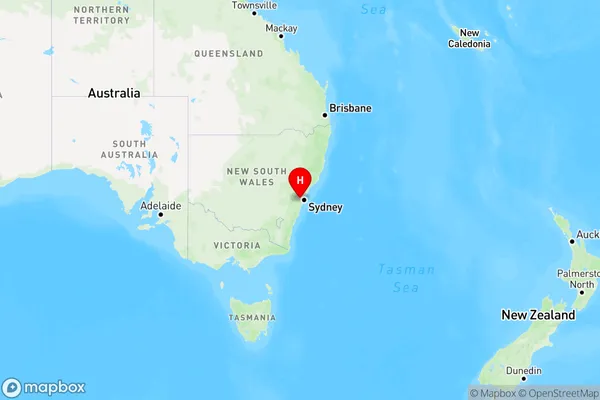
Cecil Park Region Map

Country
Main Region in AU
R1Coordinates
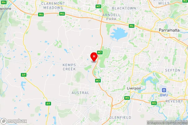
-33.87297,150.83823 (latitude/longitude)Cecil Park Area Map (Street)

Longitude
150.838225Latitude
-33.87478Cecil Park Elevation
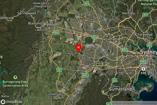
about 114.64 meters height above sea level (Altitude)Cecil Park Suburb Map (Satellite)

Distances
The distance from Cecil Park, Sydney - South West, NSW to AU Greater Capital CitiesSA1 Code 2011
12702151810SA1 Code 2016
12702151810SA2 Code
127021518SA3 Code
12702SA4 Code
127RA 2011
1RA 2016
1MMM 2015
1MMM 2019
1Charge Zone
N1LGA Region
FairfieldLGA Code
12850Electorate
Werriwa