Horsley Park Kemps Creek Suburbs & Region, Horsley Park Kemps Creek Map & Postcodes
Horsley Park Kemps Creek Suburbs & Region, Horsley Park Kemps Creek Map & Postcodes in Horsley Park Kemps Creek, Fairfield, Sydney South West, NSW, AU
Horsley Park Kemps Creek Region
Region Name
Horsley Park Kemps Creek (NSW, AU)Horsley Park Kemps Creek Area
56.28 square kilometers (56.28 ㎢)Horsley Park Kemps Creek Introduction
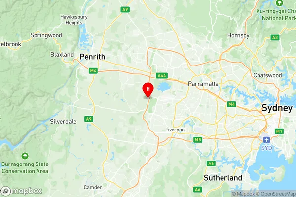
Horsley Park Kemps Creek is a suburb in the southwest of Sydney, in the state of New South Wales, Australia. It is located 26 kilometers southwest of the Sydney central business district and is part of the City of Canada Bay. The suburb is named after the Horsley Park estate, which was once the home of the wealthy Macarthur family. Horsley Park Kemps Creek is a diverse suburb with a mix of residential and commercial properties. The area has a large population of families and young professionals, and is known for its excellent schools, parks, and recreational facilities. The suburb is also home to several major shopping centers, including Westfield Parramatta and Westfield Chatswood. The area has a rich history, with the first European settlement in the area dating back to the 1820s. The suburb was named after the Horsley Park estate, which was built in the 1840s by John Macarthur, one of the founders of the Macarthur wool industry. The estate was later sold to the government, and the land was used to establish the Royal Australian Air Force Base in 1940. Today, Horsley Park Kemps Creek is a thriving suburb with a strong sense of community. The area is home to a variety of cultural and recreational facilities, including the Horsley Park Golf Club, the Kemps Creek Sports Complex, and the Sydney International Regatta CentreAustralia State
City or Big Region
Greater Capital City
Greater Sydney (1GSYD)District or Regional Area
Suburb Name
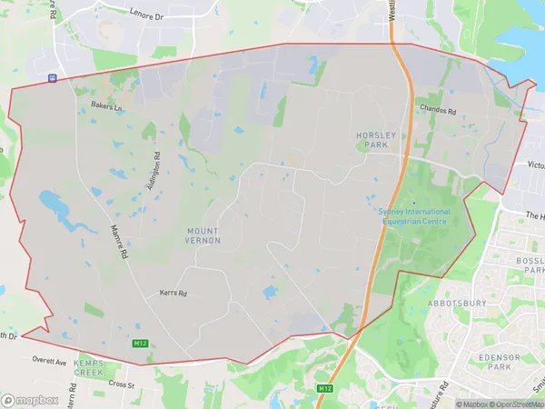
Horsley Park Kemps Creek Region Map

Horsley Park Kemps Creek Suburbs
Horsley Park Kemps Creek full address
Horsley Park Kemps Creek, Fairfield, Sydney South West, New South Wales, NSW, Australia, SaCode: 127021518Country
Horsley Park Kemps Creek, Fairfield, Sydney South West, New South Wales, NSW, Australia, SaCode: 127021518
Horsley Park Kemps Creek Suburbs & Region, Horsley Park Kemps Creek Map & Postcodes has 0 areas or regions above, and there are 0 Horsley Park Kemps Creek suburbs below. The sa2code for the Horsley Park Kemps Creek region is 127021518. Its latitude and longitude coordinates are -33.8481,150.849. Horsley Park Kemps Creek area belongs to Australia's greater capital city Greater Sydney.
