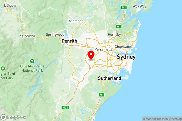
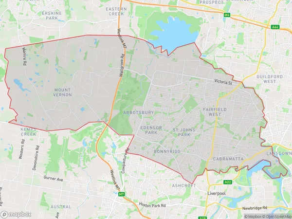
Fairfield Suburbs & Region, Fairfield Map & Postcodes
Fairfield Suburbs & Region, Fairfield Map & Postcodes in Fairfield, Sydney South West, NSW, AU
Fairfield Region
Region Name
Fairfield (NSW, AU)Fairfield Area
123.77 square kilometers (123.77 ㎢)Postal Codes
1851, 1860, 2148, from 2164 to 2166, and from 2175 to 2178 (In total, there are 10 postcodes in Fairfield.)Fairfield Introduction
Fairfield is a suburb in Sydney's south-west, located 13 kilometers from the city center. It is known for its large industrial area and historic railway station. Fairfield has a diverse population and is home to many different cultures and languages. The suburb has a number of parks and recreational facilities, including Fairfield Showground and Fairfield Park. It is also home to a number of schools, including Fairfield High School and St. Joseph's College.Australia State
City or Big Region
District or Regional Area
Fairfield Region Map

Fairfield Postcodes / Zip Codes
Fairfield Suburbs
Blacktown (East) Kings Park
Blacktown (North) Marayong
Seven Hills Toongabbie
Homebush Bay Silverwater
Guildford West Merrylands West
Bonnyrigg Heights Bonnyrigg
Bossley Park Abbotsbury
Cabramatta Lansvale
Canley Vale Canley Heights
Greenfield Park Prairiewood
Horsley Park Kemps Creek
Smithfield Wetherill Park
St Johns Park Wakeley
Wetherill Park Industrial
Fairfield full address
Fairfield, Sydney South West, New South Wales, NSW, Australia, SaCode: 12702Country
Fairfield, Sydney South West, New South Wales, NSW, Australia, SaCode: 12702
Fairfield Suburbs & Region, Fairfield Map & Postcodes has 18 areas or regions above, and there are 38 Fairfield suburbs below. The sa3code for the Fairfield region is 12702. Its latitude and longitude coordinates are -33.8981,150.89.
Fairfield Suburbs & Localities
1. Wetherill Park Dc
2. Wetherill Park
3. Fairfield
4. Blacktown
5. Huntingwood
6. Wetherill Park
7. Fairfield
8. Edensor Park
9. Mount Vernon
10. Prospect
11. Smithfield
12. Fairfield Heights
13. Canley Heights
14. Lansvale
15. Horsley Park
16. Bossley Park
17. Prairiewood
18. Wentworth Port
19. Arndell Park
20. Marayong
21. Wetherill Park Bc
22. Woodpark
23. Cabramatta
24. Cabramatta West
25. Canley Vale
26. Abbotsbury
27. St Johns Park
28. Kemps Creek
29. Blacktown Westpoint
30. Kings Park
31. Smithfield West
32. Fairfield East
33. Fairfield West
34. Greenfield Park
35. Wakeley
36. Bonnyrigg
37. Bonnyrigg Heights
38. Cecil Park
