St Johns Park Area, St Johns Park Postcode(2176) & Map in St Johns Park, Sydney - South West, NSW
St Johns Park Area, St Johns Park Postcode(2176) & Map in St Johns Park, Sydney - South West, NSW, AU, Postcode: 2176
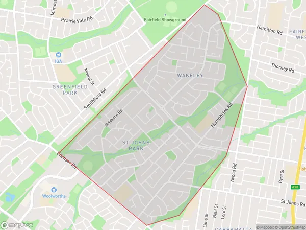
St Johns Park, St Johns Park - Wakeley, Fairfield, Sydney - South West, New South Wales, Australia, 2176
St Johns Park Postcode
Area Name
St Johns ParkSt Johns Park Suburb Area Map (Polygon)

St Johns Park Introduction
St John's Park is a historic park located in the South West Sydney suburb of Werrington. It is known for its beautiful gardens, picnic spots, and peaceful atmosphere. The park was established in 1880 and is named after St John's Church, which is located within its boundaries. The park features a variety of plant species, including native trees, shrubs, and flowers. It also has a playground, walking tracks, and a cricket pitch. St John's Park is a popular destination for locals and visitors alike and is a great place to relax and enjoy the outdoors.State Name
City or Big Region
District or Regional Area
Suburb Name
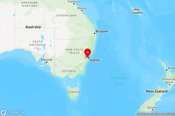
St Johns Park Region Map

Country
Main Region in AU
R1Coordinates
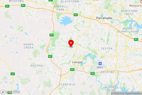
-33.8847,150.907 (latitude/longitude)St Johns Park Area Map (Street)

Longitude
150.88526Latitude
-33.872014St Johns Park Elevation
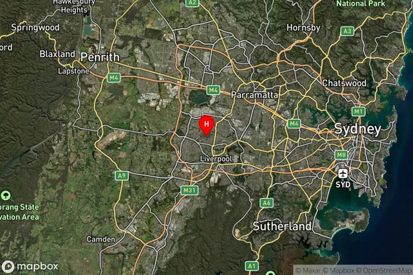
about 44.55 meters height above sea level (Altitude)St Johns Park Suburb Map (Satellite)

Distances
The distance from St Johns Park, Sydney - South West, NSW to AU Greater Capital CitiesSA1 Code 2011
12702152021SA1 Code 2016
12702152021SA2 Code
127021520SA3 Code
12702SA4 Code
127RA 2011
1RA 2016
1MMM 2015
1MMM 2019
1Charge Zone
N1LGA Region
FairfieldLGA Code
12850Electorate
McMahon