Canley Heights Area, Canley Heights Postcode(2166) & Map in Canley Heights, Sydney - South West, NSW
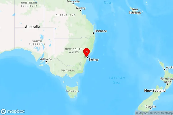
Canley Heights Area, Canley Heights Postcode(2166) & Map in Canley Heights, Sydney - South West, NSW, AU, Postcode: 2166
Canley Heights, Canley Vale - Canley Heights, Fairfield, Sydney - South West, New South Wales, Australia, 2166
Canley Heights Postcode
Area Name
Canley HeightsCanley Heights Suburb Area Map (Polygon)

Canley Heights Introduction
Canley Heights is a suburb in Sydney's south-west, 12 kilometres from the city centre. It is part of the Canterbury-Bankstown Council area. The suburb has a diverse population and is known for its multiculturalism. It has several parks, including Canley Vale Park and Canley Heights Reserve. The area is also home to several shopping centres, including Canley Heights Shopping Centre and Westfield Miranda.State Name
City or Big Region
District or Regional Area
Suburb Name
Canley Heights Region Map

Country
Main Region in AU
R1Coordinates
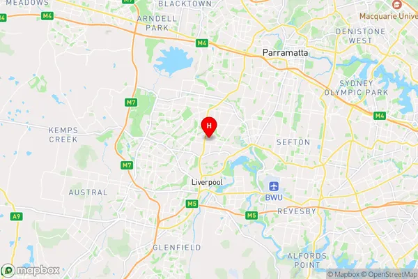
-33.88502,150.9276 (latitude/longitude)Canley Heights Area Map (Street)

Longitude
150.92937Latitude
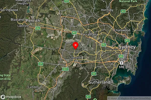
-33.892738Canley Heights Suburb Map (Satellite)

Distances
The distance from Canley Heights, Sydney - South West, NSW to AU Greater Capital CitiesSA1 Code 2011
12702151307SA1 Code 2016
12702151307SA2 Code
127021513SA3 Code
12702SA4 Code
127RA 2011
1RA 2016
1MMM 2015
1MMM 2019
1Charge Zone
N1LGA Region
FairfieldLGA Code
12850Electorate
McMahon