Mount Vernon Area, Mount Vernon Postcode(2178) & Map in Mount Vernon, Sydney - South West, NSW
Mount Vernon Area, Mount Vernon Postcode(2178) & Map in Mount Vernon, Sydney - South West, NSW, AU, Postcode: 2178
Mount Vernon, Horsley Park - Kemps Creek, Fairfield, Sydney - South West, New South Wales, Australia, 2178
Mount Vernon Postcode
Area Name
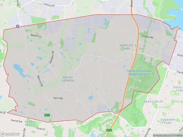
Mount VernonMount Vernon Suburb Area Map (Polygon)

Mount Vernon Introduction
Mount Vernon is a suburb in the South West of Sydney, in the state of New South Wales, Australia. It is located 27 kilometers from the Sydney central business district and is part of the Georges River Council. The suburb is named after Mount Vernon, a property owned by John Macarthur, a prominent Australian politician and businessman. Mount Vernon is known for its historic homes, including the Mount Vernon Inn, which is listed on the New South Wales State Heritage Register. It also has a large industrial area and a shopping center.State Name
City or Big Region
District or Regional Area
Suburb Name
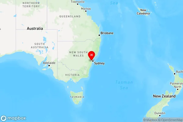
Mount Vernon Region Map

Country
Main Region in AU
R1Coordinates
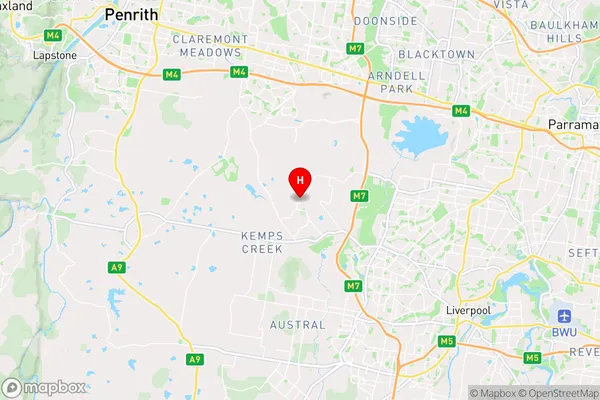
-33.857,150.81 (latitude/longitude)Mount Vernon Area Map (Street)

Longitude
150.838225Latitude
-33.87478Mount Vernon Elevation
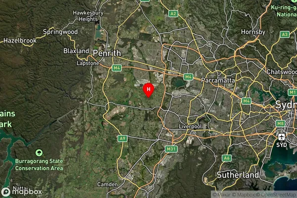
about 114.64 meters height above sea level (Altitude)Mount Vernon Suburb Map (Satellite)

Distances
The distance from Mount Vernon, Sydney - South West, NSW to AU Greater Capital CitiesSA1 Code 2011
12702151806SA1 Code 2016
12702151806SA2 Code
127021518SA3 Code
12702SA4 Code
127RA 2011
1RA 2016
1MMM 2015
1MMM 2019
1Charge Zone
N1LGA Region
FairfieldLGA Code
12850Electorate
Werriwa