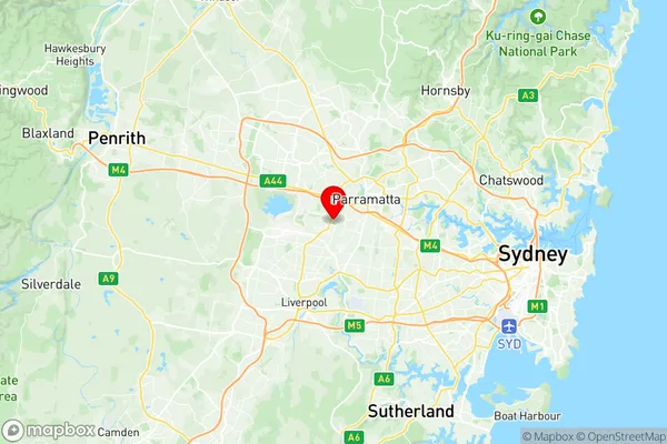
Guildford West Merrylands West Suburbs & Region, Guildford West Merrylands West Map & Postcodes
Guildford West Merrylands West Suburbs & Region, Guildford West Merrylands West Map & Postcodes in Guildford West Merrylands West, Fairfield, Sydney South West, NSW, AU
Guildford West Merrylands West Region
Region Name
Guildford West Merrylands West (NSW, AU)Guildford West Merrylands West Area
5.47 square kilometers (5.47 ㎢)Postal Codes
2160, 2161, and 2164 (In total, there are 3 postcodes in Guildford West Merrylands West.)Guildford West Merrylands West Introduction
Guildford West Merrylands West is a suburb located in the state of New South Wales, Australia. It is part of the City of Canada Bay and is situated 20 kilometers southwest of the Sydney central business district. The suburb is named after the Merrylands River, which flows through it. Guildford West Merrylands West is a diverse suburb with a mix of residential, commercial, and industrial areas. The population is estimated to be around 11,000 people, with a majority of residents being of Asian descent. The suburb has a number of shopping centers, including the Merrylands Square Shopping Centre, which is the largest shopping center in the area. The suburb is well-connected to other parts of Sydney, with the M4 motorway and the Westlink M7 motorway providing easy access to the city. It is also served by several bus routes, including the 420 and 421, which provide connections to the city and other suburbs. Guildford West Merrylands West is a vibrant and diverse suburb with a lot to offer its residents. It is a great place to live, work, and play, with a variety of recreational facilities, including parks, sports clubs, and libraries. The suburb is also home to a number of cultural institutions, including the Merrylands Chinese Community Centre and the Merrylands Islamic Centre.Australia State
City or Big Region
Greater Capital City
Greater Sydney (1GSYD)District or Regional Area
Suburb Name
Guildford West Merrylands West Region Map

Guildford West Merrylands West Postcodes / Zip Codes
Guildford West Merrylands West Suburbs
Guildford West Merrylands West full address
Guildford West Merrylands West, Fairfield, Sydney South West, New South Wales, NSW, Australia, SaCode: 125031484Country
Guildford West Merrylands West, Fairfield, Sydney South West, New South Wales, NSW, Australia, SaCode: 125031484
Guildford West Merrylands West Suburbs & Region, Guildford West Merrylands West Map & Postcodes has 0 areas or regions above, and there are 3 Guildford West Merrylands West suburbs below. The sa2code for the Guildford West Merrylands West region is 125031484. Its latitude and longitude coordinates are -33.8374,150.962. Guildford West Merrylands West area belongs to Australia's greater capital city Greater Sydney.
Guildford West Merrylands West Suburbs & Localities
1. Guildford West
2. Merrylands West
3. Woodpark
