Guildford West Area, Guildford West Postcode(2161) & Map in Guildford West, Sydney - Parramatta, NSW
Guildford West Area, Guildford West Postcode(2161) & Map in Guildford West, Sydney - Parramatta, NSW, AU, Postcode: 2161
Guildford West, Guildford West - Merrylands West, Merrylands - Guildford, Sydney - Parramatta, New South Wales, Australia, 2161
Guildford West Postcode
Area Name
Guildford WestGuildford West Suburb Area Map (Polygon)

Guildford West Introduction
Guildford West is a suburb located in the City of Fairfield, 27 kilometers west of Sydney's central business district. It is part of the Greater Western Sydney region and is home to a diverse population. The suburb has a mix of residential and commercial properties, with several shopping centers, parks, and schools. It is also well-connected to public transportation, with the Guildford railway station providing access to Sydney's CBD.State Name
City or Big Region
District or Regional Area
Suburb Name
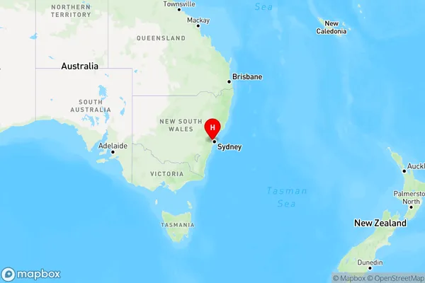
Guildford West Region Map

Country
Main Region in AU
R1Coordinates
-33.850656,150.96308 (latitude/longitude)Guildford West Area Map (Street)

Longitude
150.983724Latitude
-33.858335Guildford West Elevation
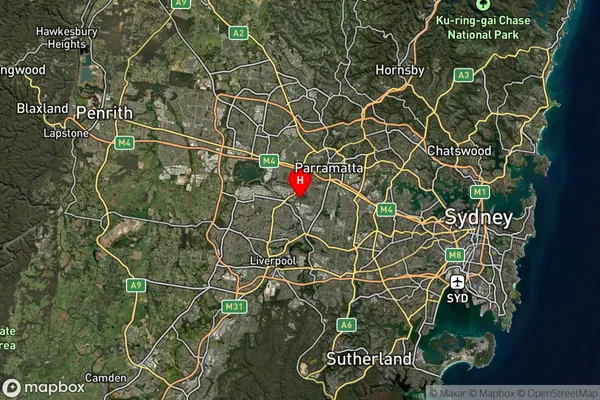
about 41.65 meters height above sea level (Altitude)Guildford West Suburb Map (Satellite)

Distances
The distance from Guildford West, Sydney - Parramatta, NSW to AU Greater Capital CitiesSA1 Code 2011
12503148433SA1 Code 2016
12503148433SA2 Code
125031484SA3 Code
12503SA4 Code
125RA 2011
1RA 2016
1MMM 2015
1MMM 2019
1Charge Zone
N1LGA Region
CumberlandLGA Code
12380Electorate
Parramatta