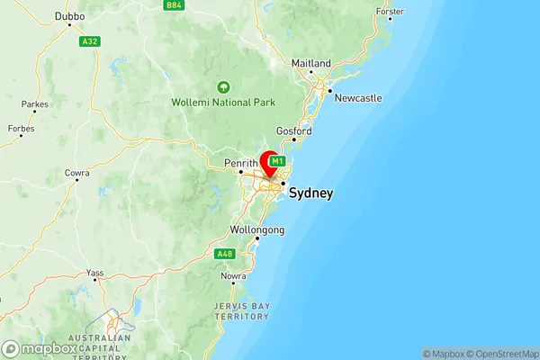
Sydney Parramatta Suburbs & Region, Sydney Parramatta Map & Postcodes
Sydney Parramatta Suburbs & Region, Sydney Parramatta Map & Postcodes in Sydney Parramatta, NSW, AU
Sydney Parramatta Region
Region Name
Sydney Parramatta (NSW, AU)Sydney Parramatta Area
162.84 square kilometers (162.84 ㎢)Postal Codes
1700, 1740, 1741, 1750, 1755, 1811, 1825, 1830, 1831, 1835, from 2115 to 2117, 2123, 2124, 2127, 2128, from 2141 to 2146, from 2150 to 2153, from 2160 to 2163, and 2197 (In total, there are 32 postcodes in Sydney Parramatta.)Sydney Parramatta Introduction
Sydney Parramatta is a suburb of Sydney, located in the state of New South Wales, Australia. It is situated 20 kilometers west of Sydney's central business district and is part of the Greater Western Sydney region. Parramatta is known for its vibrant cultural scene, with a variety of museums, galleries, and theatres. It is also home to the Parramatta Stadium, which is the headquarters of the Parramatta Eels rugby league team and the Western Sydney Wanderers soccer club. The suburb is well-connected to other parts of Sydney, with easy access to public transportation and the Sydney motorway network.Australia State
City or Big Region
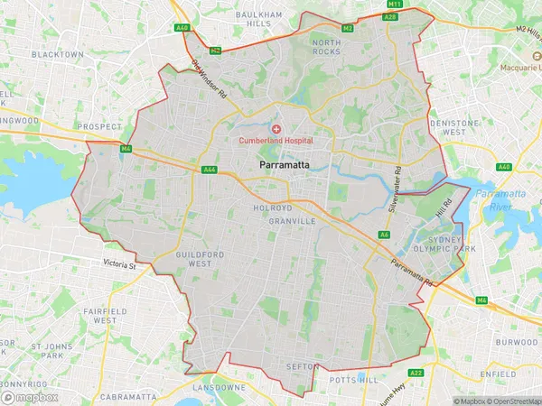
Sydney Parramatta Region Map

Sydney Parramatta Postcodes / Zip Codes
Sydney Parramatta Suburbs
Merrylands Guildford
Sydney Parramatta full address
Sydney Parramatta, New South Wales, NSW, Australia, SaCode: 125Country
Sydney Parramatta, New South Wales, NSW, Australia, SaCode: 125
Sydney Parramatta Suburbs & Region, Sydney Parramatta Map & Postcodes has 4 areas or regions above, and there are 75 Sydney Parramatta suburbs below. The sa4code for the Sydney Parramatta region is 125. Its latitude and longitude coordinates are -33.834,151.048.
Sydney Parramatta Suburbs & Localities
1. Baulkham Hills
2. Norwest
3. Bass Hill
4. Lansdowne
5. Potts Hill
6. Silverwater
7. Homebush Bay
8. Rookwood
9. Auburn South
10. Auburn
11. Lidcombe
12. Ermington
13. Dundas
14. Rydalmere
15. Sefton
16. Old Guildford
17. Granville
18. Clyde
19. Pemulwuy
20. Merrylands West
21. North Parramatta
22. North Rocks
23. Northmead
24. Parramatta
25. Harris Park
26. Old Toongabbie
