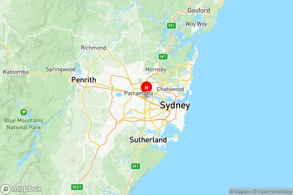
Auburn Suburbs & Region, Auburn Map & Postcodes
Auburn Suburbs & Region, Auburn Map & Postcodes in Auburn, Sydney Parramatta, NSW, AU
Auburn Region
Region Name
Auburn (NSW, AU)Auburn Area
33.06 square kilometers (33.06 ㎢)Postal Codes
1811, 1825, 1835, 2127, 2128, 2141, 2143, and 2144 (In total, there are 8 postcodes in Auburn.)Auburn Introduction
Auburn is a suburb in western Sydney, in the state of New South Wales, Australia. It is located 12 kilometers west of the Sydney central business district and is part of the City of Canada Bay. Auburn is known for its vibrant cultural scene, with a large number of ethnic communities residing in the area. The suburb has a number of parks and recreational facilities, including Auburn Botanic Gardens, which is home to over 1,500 species of plants. Auburn also has a large shopping district, with a variety of stores and restaurants.Australia State
City or Big Region
District or Regional Area
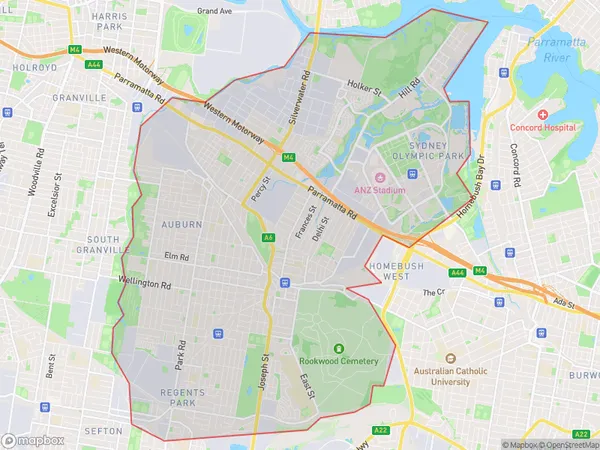
Auburn Region Map

Auburn Postcodes / Zip Codes
Auburn Suburbs
Rookwood Cemetery
Silverwater Newington
Wentworth Point Sydney Olympic Park
Auburn full address
Auburn, Sydney Parramatta, New South Wales, NSW, Australia, SaCode: 12501Country
Auburn, Sydney Parramatta, New South Wales, NSW, Australia, SaCode: 12501
Auburn Suburbs & Region, Auburn Map & Postcodes has 9 areas or regions above, and there are 18 Auburn suburbs below. The sa3code for the Auburn region is 12501. Its latitude and longitude coordinates are -33.834,151.048.
Auburn Suburbs & Localities
1. Silverwater
2. Lidcombe
3. Auburn
4. Homebush Bay
5. Regents Park
6. Auburn South
7. Silverwater
8. Lidcombe North
9. Potts Hill
10. Regents Park Dc
11. Auburn
12. Sydney Olympic Park
13. Wentworth Point
14. Birrong
15. Newington
16. Berala
17. Lidcombe
18. Rookwood
