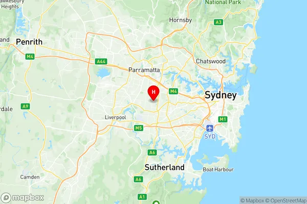
Regents Park Suburbs & Region, Regents Park Map & Postcodes
Regents Park Suburbs & Region, Regents Park Map & Postcodes in Regents Park, Auburn, Sydney Parramatta, NSW, AU
Regents Park Region
Region Name
Regents Park (NSW, AU)Regents Park Area
2.03 square kilometers (2.03 ㎢)Regents Park Introduction
Regents Park is a suburb in Sydney, New South Wales, Australia. It is located 12 kilometers west of Sydney's central business district and is part of the local government area of the City of Parramatta. The suburb is named after the Regents Park Estate, which was developed in the 1860s by the Governor of New South Wales, Sir Richard Macdonnell. The suburb is characterized by a mix of residential and commercial properties. It is home to a large number of public parks, including Regents Park, which is the largest park in the City of Parramatta. The park is a popular destination for locals and visitors, with a variety of facilities including playgrounds, walking trails, and a swimming pool. Regents Park is also home to a number of shopping centers, including Westfield Parramatta, which is the largest shopping center in the western suburbs of Sydney. The suburb is well-connected to other parts of Sydney, with easy access to the M4 motorway and the Sydney Metro. It is also served by several bus routes, including the 410 and 420. In terms of demographics, Regents Park is a diverse suburb with a mix of different ethnicities and cultures. The population is estimated to be around 10,000 people, with a majority of residents being of Asian descent. The suburb has a low crime rate and is considered to be a safe and secureAustralia State
City or Big Region
Greater Capital City
Greater Sydney (1GSYD)District or Regional Area
Suburb Name
Regents Park Region Map

Regents Park Suburbs
Regents Park full address
Regents Park, Auburn, Sydney Parramatta, New South Wales, NSW, Australia, SaCode: 125011587Country
Regents Park, Auburn, Sydney Parramatta, New South Wales, NSW, Australia, SaCode: 125011587
Regents Park Suburbs & Region, Regents Park Map & Postcodes has 0 areas or regions above, and there are 0 Regents Park suburbs below. The sa2code for the Regents Park region is 125011587. Its latitude and longitude coordinates are -33.8857,151.028. Regents Park area belongs to Australia's greater capital city Greater Sydney.
