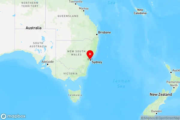
Regents Park Area, Regents Park Postcode(2143) & Map in Regents Park, Sydney - Parramatta, NSW
Regents Park Area, Regents Park Postcode(2143) & Map in Regents Park, Sydney - Parramatta, NSW, AU, Postcode: 2143
Regents Park, Regents Park, Auburn, Sydney - Parramatta, New South Wales, Australia, 2143
Regents Park Postcode
Area Name
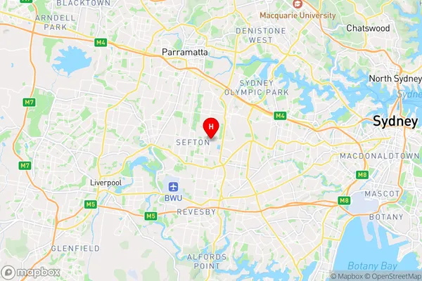
Regents ParkRegents Park Suburb Area Map (Polygon)

Regents Park Introduction
Regents Park is a large urban park located in Sydney's inner-west, between the suburbs of Parramatta and Granville. It is known for its extensive gardens, walking trails, and sporting facilities, including a cricket ground, tennis courts, and an oval. The park also features a lake, a children's playground, and a variety of bird species. Regents Park is a popular destination for locals and visitors alike, offering a peaceful and green space in the heart of the city.State Name
City or Big Region
District or Regional Area
Suburb Name
Regents Park Region Map

Country
Main Region in AU
R1Coordinates
-33.88572,151.02833 (latitude/longitude)Regents Park Area Map (Street)

Longitude
151.021934Latitude
-33.885382Regents Park Elevation
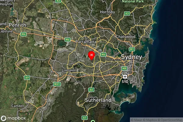
about 28.63 meters height above sea level (Altitude)Regents Park Suburb Map (Satellite)

Distances
The distance from Regents Park, Sydney - Parramatta, NSW to AU Greater Capital CitiesSA1 Code 2011
12501147423SA1 Code 2016
12501158705SA2 Code
125011587SA3 Code
12501SA4 Code
125RA 2011
1RA 2016
1MMM 2015
1MMM 2019
1Charge Zone
N1LGA Region
Canterbury-BankstownLGA Code
11570Electorate
Blaxland