Lidcombe Area, Lidcombe Postcode(2141) & Map in Lidcombe, Sydney - Parramatta, NSW
Lidcombe Area, Lidcombe Postcode(2141) & Map in Lidcombe, Sydney - Parramatta, NSW, AU, Postcode: 2141
Lidcombe, Lidcombe, Auburn, Sydney - Parramatta, New South Wales, Australia, 2141
Lidcombe Postcode
Area Name
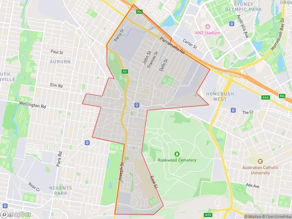
LidcombeLidcombe Suburb Area Map (Polygon)
Lidcombe Introduction
Lidcombe is a suburb in Sydney's inner-west, located 10 kilometers west of the Sydney central business district. It is part of the City of Canada Bay and is known for its large Muslim population. The suburb has a variety of shopping centers, parks, and recreational facilities and is well-connected to public transport.State Name
City or Big Region
District or Regional Area
Suburb Name
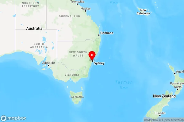
Lidcombe Region Map
Country
Main Region in AU
R1Coordinates
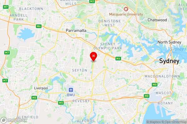
-33.8719405,151.0413133 (latitude/longitude)Lidcombe Area Map (Street)
Longitude
151.044768Latitude
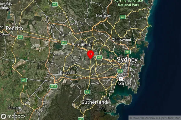
-33.872483Lidcombe Suburb Map (Satellite)
Distances
The distance from Lidcombe, Sydney - Parramatta, NSW to AU Greater Capital CitiesSA1 Code 2011
12501147444SA1 Code 2016
12501158637SA2 Code
125011586SA3 Code
12501SA4 Code
125RA 2011
1RA 2016
1MMM 2015
1MMM 2019
1Charge Zone
N1LGA Region
StrathfieldLGA Code
17100Electorate
Watson