Auburn South Area, Auburn South Postcode(2144) & Map in Auburn South, Sydney - Parramatta, NSW
Auburn South Area, Auburn South Postcode(2144) & Map in Auburn South, Sydney - Parramatta, NSW, AU, Postcode: 2144
Auburn South, Auburn - Central, Auburn, Sydney - Parramatta, New South Wales, Australia, 2144
Auburn South Postcode
Area Name
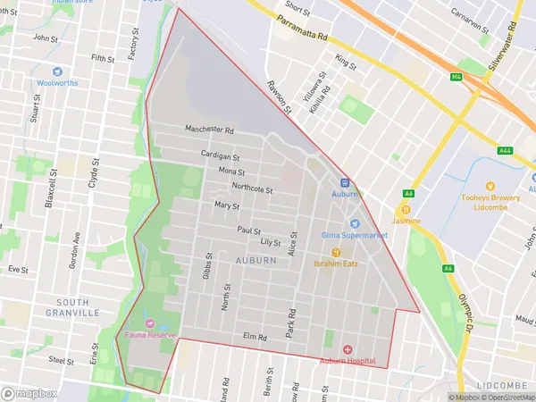
Auburn SouthAuburn South Suburb Area Map (Polygon)

Auburn South Introduction
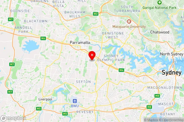
Auburn South is a suburb in Sydney's west, located 14 kilometers from the CBD. It is part of the City of Canada Bay and has a population of around 11,000 people. The suburb has a mix of residential and commercial properties and is home to several major shopping centers, including Westfield Parramatta and The Auburn Shopping Centre. It is also well-connected to public transport, with several bus and train stations nearby.State Name
City or Big Region
District or Regional Area
Suburb Name
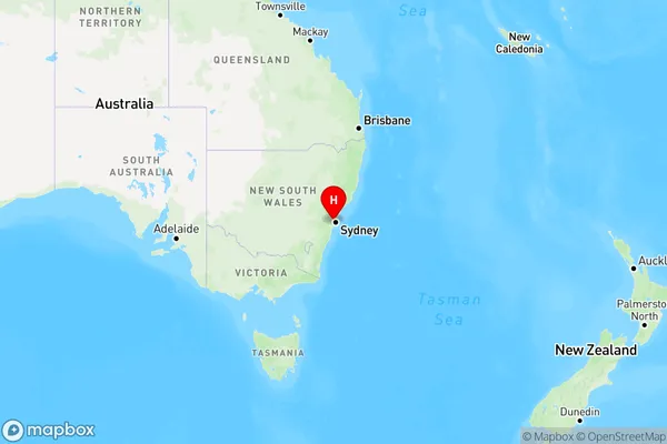
Auburn South Region Map

Country
Main Region in AU
R1Coordinates
-33.8485,151.03 (latitude/longitude)Auburn South Area Map (Street)

Longitude
151.026756Latitude
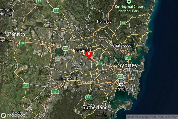
-33.851868Auburn South Suburb Map (Satellite)

Distances
The distance from Auburn South, Sydney - Parramatta, NSW to AU Greater Capital CitiesSA1 Code 2011
12501147219SA1 Code 2016
12501158204SA2 Code
125011582SA3 Code
12501SA4 Code
125RA 2011
1RA 2016
1MMM 2015
1MMM 2019
1Charge Zone
N1LGA Region
CumberlandLGA Code
12380Electorate
Reid