Parramatta Suburbs & Region, Parramatta Map & Postcodes
Parramatta Suburbs & Region, Parramatta Map & Postcodes in Parramatta, Sydney Parramatta, NSW, AU
Parramatta Region
Region Name
Parramatta (NSW, AU)Parramatta Area
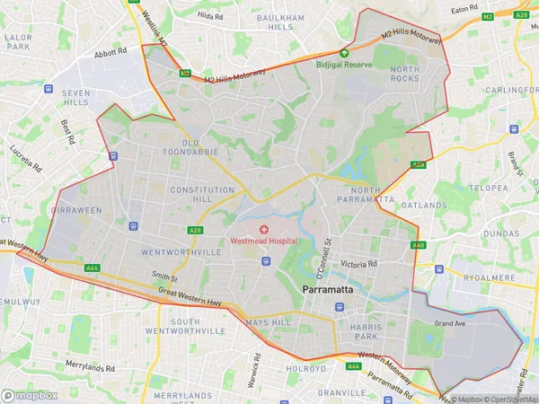
47.09 square kilometers (47.09 ㎢)Parramatta Suburb Area Map (Polygon)
Parramatta Introduction
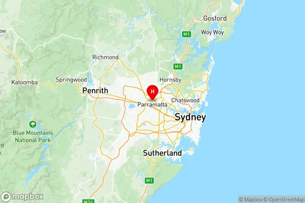
Parramatta is a suburb of Sydney, located 8 kilometers west of the Sydney central business district on the banks of the Parramatta River. It is the administrative center of the Parramatta local government area and is home to a diverse population of around 500,000 people. The suburb is known for its historic buildings, including the Old Government House, which is the oldest government building in Australia. Parramatta also has a vibrant cultural scene, with numerous galleries, museums, and theatres. It is home to the Parramatta Eels rugby league team and the Western Sydney Wanderers soccer club. The suburb is well-connected to other parts of Sydney, with excellent public transport links and a major road network.Australia State
City or Big Region
District or Regional Area
Parramatta Region Map
Parramatta Suburbs
Baulkham Hills (East)
Baulkham Hills (West) Bella Vista
Ermington Rydalmere
Oatlands Dundas Valley
Greystanes Pemulwuy
Merrylands Holroyd
North Parramatta
Parramatta Rosehill
Toongabbie Constitution Hill
Pendle Hill Girraween
Wentworthville Westmead
Parramatta North
Parramatta South
Rosehill Harris Park
Parramatta full address
Parramatta, Sydney Parramatta, New South Wales, NSW, Australia, SaCode: 12504Country
Parramatta, Sydney Parramatta, New South Wales, NSW, Australia, SaCode: 12504
Parramatta Suburbs & Region, Parramatta Map & Postcodes has 18 areas or regions above, and there are 0 Parramatta suburbs below. The sa3code for the Parramatta region is 12504. Its latitude and longitude coordinates are -33.8003,151.004.