Baulkham Hills (East) Suburbs & Region, Baulkham Hills (East) Map & Postcodes
Baulkham Hills (East) Suburbs & Region, Baulkham Hills (East) Map & Postcodes in Baulkham Hills (East), Parramatta, Sydney Parramatta, NSW, AU
Baulkham Hills (East) Region
Region Name
Baulkham Hills (East) (NSW, AU)Baulkham Hills (East) Area
8.31 square kilometers (8.31 ㎢)Postal Codes
1755, and 2153 (In total, there are 2 postcodes in Baulkham Hills (East).)Baulkham Hills (East) Introduction
Baulkham Hills (East) is a suburb in the Hills District of Sydney, in New South Wales, Australia. It is located 26 kilometers northwest of Sydney's central business district and is part of the Greater Western Sydney region. The suburb is named after the Baulkham Hills, a range of hills that form part of the Blue Mountains. Baulkham Hills (East) is a well-established suburb with a mix of residential and commercial properties. It has a large population of Chinese and Indian immigrants, and is known for its vibrant cultural scene. The suburb has several shopping centers, including the Baulkham Hills Shopping Village, which features a variety of retail stores, restaurants, and cafes. The area is also home to several parks and recreational facilities, including the Baulkham Hills Parklands, which includes a nature reserve, walking trails, and a picnic area. The suburb is well-connected to other parts of Sydney, with easy access to the M2 motorway and the Westlink M7 motorway. It is also served by several bus routes, including the 805 and 806 services, which provide access to the city center and other suburbs. In conclusion, Baulkham Hills (East) is a vibrant and diverse suburb with a rich cultural heritage and a variety of recreational facilities. It is a popular location for families and professionals looking for a convenient and comfortable lifestyle in the suburbs of Sydney.Australia State
City or Big Region
Greater Capital City
Greater Sydney (1GSYD)District or Regional Area
Suburb Name
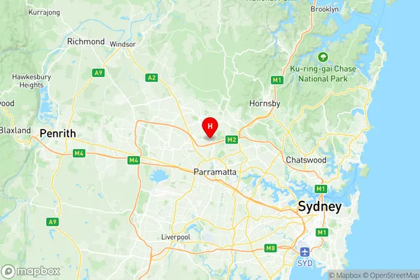
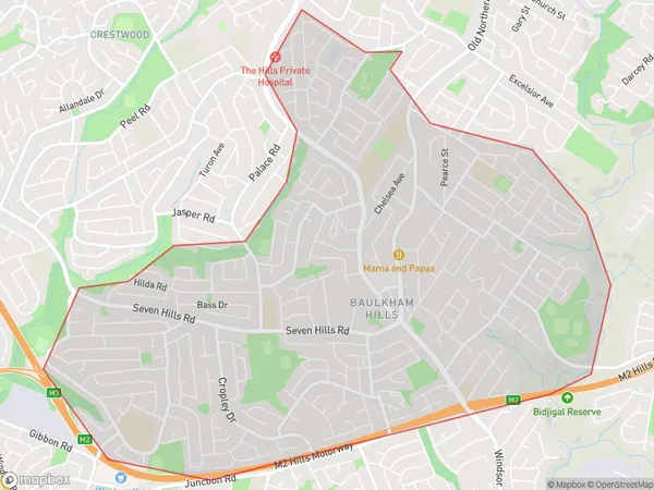
Baulkham Hills (East) Region Map

Baulkham Hills (East) Postcodes / Zip Codes
Baulkham Hills (East) Suburbs
Baulkham Hills (East) full address
Baulkham Hills (East), Parramatta, Sydney Parramatta, New South Wales, NSW, Australia, SaCode: 115011290Country
Baulkham Hills (East), Parramatta, Sydney Parramatta, New South Wales, NSW, Australia, SaCode: 115011290
Baulkham Hills (East) Suburbs & Region, Baulkham Hills (East) Map & Postcodes has 0 areas or regions above, and there are 3 Baulkham Hills (East) suburbs below. The sa2code for the Baulkham Hills (East) region is 115011290. Its latitude and longitude coordinates are -33.7619,150.993. Baulkham Hills (East) area belongs to Australia's greater capital city Greater Sydney.
Baulkham Hills (East) Suburbs & Localities
1. Baulkham Hills
2. Baulkham Hills
3. Norwest
