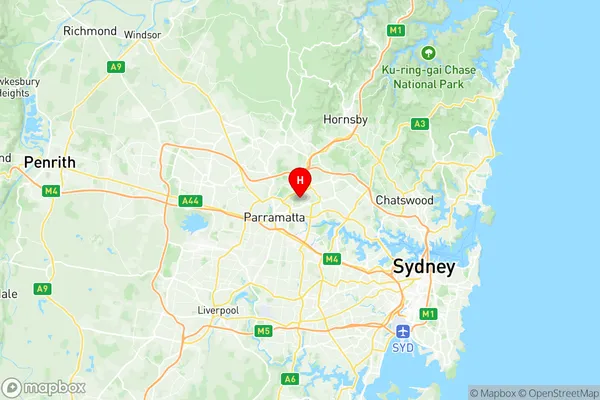
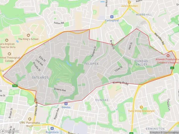
Oatlands Dundas Valley Suburbs & Region, Oatlands Dundas Valley Map & Postcodes
Oatlands Dundas Valley Suburbs & Region, Oatlands Dundas Valley Map & Postcodes in Oatlands Dundas Valley, Parramatta, Sydney Parramatta, NSW, AU
Oatlands Dundas Valley Region
Region Name
Oatlands Dundas Valley (NSW, AU)Oatlands Dundas Valley Area
6.08 square kilometers (6.08 ㎢)Postal Codes
2117 (In total, there are 1 postcodes in Oatlands Dundas Valley.)Oatlands Dundas Valley Introduction
Oatlands Dundas Valley is a suburb in Sydney, New South Wales, Australia. It is located in the local government area of the City of Canada Bay and is part of the Greater Western Sydney region. The suburb is named after the Oatlands River, which flows through it. Oatlands Dundas Valley is a relatively new suburb, with most of the development occurring in the 1990s and 2000s. It is a popular residential area with a mix of detached houses, townhouses, and apartments. The suburb has a variety of amenities, including a shopping center, a library, a community center, and several parks. It is also home to several schools, including Oatlands Public School and Dundas Valley High School. The suburb is well-connected to the rest of Sydney, with easy access to the M4 motorway and the Sydney Metro. It is also a short drive from the city center of Sydney and the beaches of the Eastern Suburbs.Australia State
City or Big Region
Greater Capital City
Greater Sydney (1GSYD)District or Regional Area
Suburb Name
Oatlands Dundas Valley Region Map

Oatlands Dundas Valley Postcodes / Zip Codes
Oatlands Dundas Valley Suburbs
Oatlands Dundas Valley full address
Oatlands Dundas Valley, Parramatta, Sydney Parramatta, New South Wales, NSW, Australia, SaCode: 125021478Country
Oatlands Dundas Valley, Parramatta, Sydney Parramatta, New South Wales, NSW, Australia, SaCode: 125021478
Oatlands Dundas Valley Suburbs & Region, Oatlands Dundas Valley Map & Postcodes has 0 areas or regions above, and there are 3 Oatlands Dundas Valley suburbs below. The sa2code for the Oatlands Dundas Valley region is 125021478. Its latitude and longitude coordinates are -33.7942,151.038. Oatlands Dundas Valley area belongs to Australia's greater capital city Greater Sydney.
Oatlands Dundas Valley Suburbs & Localities
1. Dundas Valley
2. Oatlands
3. Telopea
