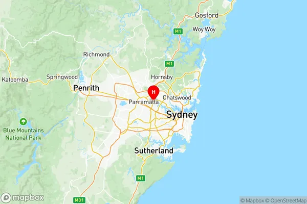
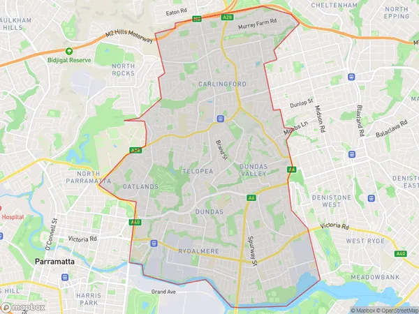
Carlingford Suburbs & Region, Carlingford Map & Postcodes
Carlingford Suburbs & Region, Carlingford Map & Postcodes in Carlingford, Sydney Parramatta, NSW, AU
Carlingford Region
Region Name
Carlingford (NSW, AU)Carlingford Area
25.69 square kilometers (25.69 ㎢)Carlingford Introduction
Carlingford is a suburb in Sydney, Australia, located 12 kilometers northwest of the Sydney central business district. It is part of the City of Parramatta and is known for its historic charm and vibrant community. The suburb has a rich history dating back to the 18th century, and it was once a popular destination for wealthy Sydney families seeking a rural escape. Today, Carlingford is a popular residential area with a mix of modern apartments and historic homes. It is home to a variety of shops, cafes, and restaurants, as well as a popular weekend market. The suburb is also well-connected to public transportation, with several bus and train lines serving it. Carlingford is surrounded by beautiful parks and natural reserves, including the Carlingford Court House Gardens and the John McDougall Reserve. The area is popular with outdoor enthusiasts, with many walking and cycling trails nearby.Australia State
City or Big Region
District or Regional Area
Carlingford Region Map

Carlingford Suburbs
Carlingford full address
Carlingford, Sydney Parramatta, New South Wales, NSW, Australia, SaCode: 12502Country
Carlingford, Sydney Parramatta, New South Wales, NSW, Australia, SaCode: 12502
Carlingford Suburbs & Region, Carlingford Map & Postcodes has 2 areas or regions above, and there are 0 Carlingford suburbs below. The sa3code for the Carlingford region is 12502. Its latitude and longitude coordinates are -33.8143,151.056.
