Dundas Area, Dundas Postcode(2117) & Map in Dundas, Sydney - Parramatta, NSW
Dundas Area, Dundas Postcode(2117) & Map in Dundas, Sydney - Parramatta, NSW, AU, Postcode: 2117
Dundas, Ermington - Rydalmere, Carlingford, Sydney - Parramatta, New South Wales, Australia, 2117
Dundas Postcode
Area Name
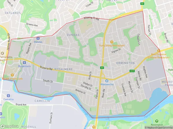
DundasDundas Suburb Area Map (Polygon)

Dundas Introduction
Dundas is a suburb in Sydney's inner-west, located 5 kilometres west of the CBD. It is bordered by the Parramatta River to the north and the Ryde River to the east. The suburb is home to a diverse population and is known for its historic buildings and vibrant cultural scene. It is also home to several major government institutions, including the Australian Parliament House and the Department of Finance.State Name
City or Big Region
District or Regional Area
Suburb Name
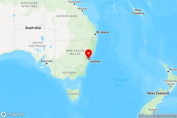
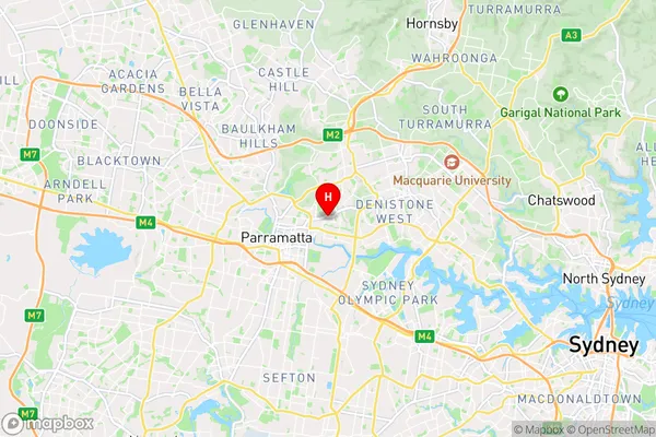
Dundas Region Map

Country
Main Region in AU
R1Coordinates
-33.80404,151.0351 (latitude/longitude)Dundas Area Map (Street)

Longitude
151.04218Latitude
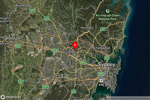
-33.797127Dundas Suburb Map (Satellite)

Distances
The distance from Dundas, Sydney - Parramatta, NSW to AU Greater Capital CitiesSA1 Code 2011
12502147743SA1 Code 2016
12502147743SA2 Code
125021477SA3 Code
12502SA4 Code
125RA 2011
1RA 2016
1MMM 2015
1MMM 2019
1Charge Zone
N1LGA Region
ParramattaLGA Code
16260Electorate
Parramatta