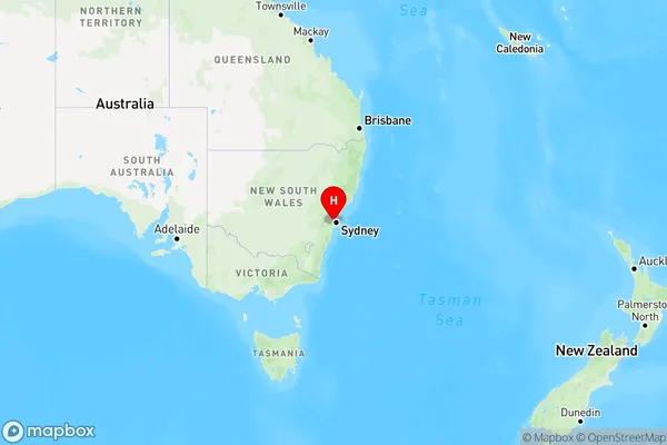
Old Guildford Area, Old Guildford Postcode(2161) & Map in Old Guildford, Sydney - Parramatta, NSW
Old Guildford Area, Old Guildford Postcode(2161) & Map in Old Guildford, Sydney - Parramatta, NSW, AU, Postcode: 2161
Old Guildford, Fairfield - East, Merrylands - Guildford, Sydney - Parramatta, New South Wales, Australia, 2161
Old Guildford Postcode
Area Name
Old GuildfordOld Guildford Suburb Area Map (Polygon)

Old Guildford Introduction
Old Guildford is a historic suburb located in Sydney's inner-west, known for its charming streets, historic buildings, and vibrant community. It is situated between the Parramatta River and the Western Highway and is home to a diverse range of people and cultures. The suburb has a rich history, with many of its buildings dating back to the 18th and 19th centuries. It is also home to a number of popular cafes, restaurants, and shops, making it a popular destination for locals and visitors alike.State Name
City or Big Region
District or Regional Area
Suburb Name
Old Guildford Region Map

Country
Main Region in AU
R1Coordinates
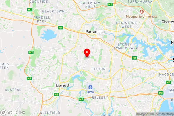
-33.86577,150.98346 (latitude/longitude)Old Guildford Area Map (Street)

Longitude
150.983724Latitude
-33.858335Old Guildford Elevation
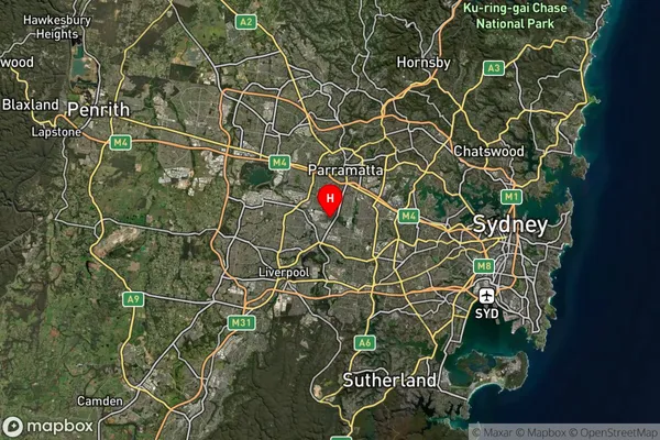
about 41.65 meters height above sea level (Altitude)Old Guildford Suburb Map (Satellite)

Distances
The distance from Old Guildford, Sydney - Parramatta, NSW to AU Greater Capital CitiesSA1 Code 2011
12503148015SA1 Code 2016
12503148015SA2 Code
125031480SA3 Code
12503SA4 Code
125RA 2011
1RA 2016
1MMM 2015
1MMM 2019
1Charge Zone
N1LGA Region
CumberlandLGA Code
12380Electorate
Parramatta