Old Toongabbie Area, Old Toongabbie Postcode(2146) & Map in Old Toongabbie, Sydney - Parramatta, NSW
Old Toongabbie Area, Old Toongabbie Postcode(2146) & Map in Old Toongabbie, Sydney - Parramatta, NSW, AU, Postcode: 2146
Old Toongabbie, Toongabbie - Constitution Hill, Parramatta, Sydney - Parramatta, New South Wales, Australia, 2146
Old Toongabbie Postcode
Area Name
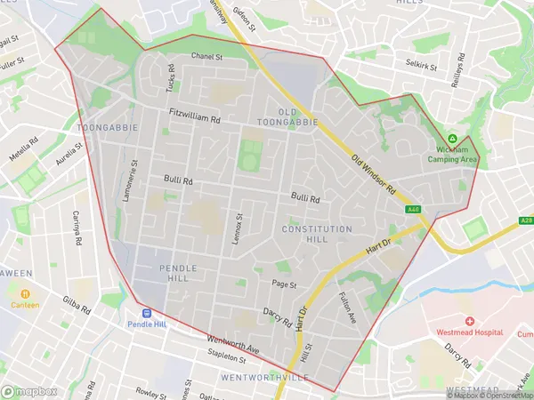
Old ToongabbieOld Toongabbie Suburb Area Map (Polygon)

Old Toongabbie Introduction
Old Toongabbie is a historic site in Sydney, Australia, that was once the home of the Toongabbie Aboriginal people. It is located on the banks of the Parramatta River and is believed to be over 2000 years old. The site has been excavated and is now a popular tourist attraction that offers visitors a glimpse into the life of the Aboriginal people who once lived there.State Name
City or Big Region
District or Regional Area
Suburb Name
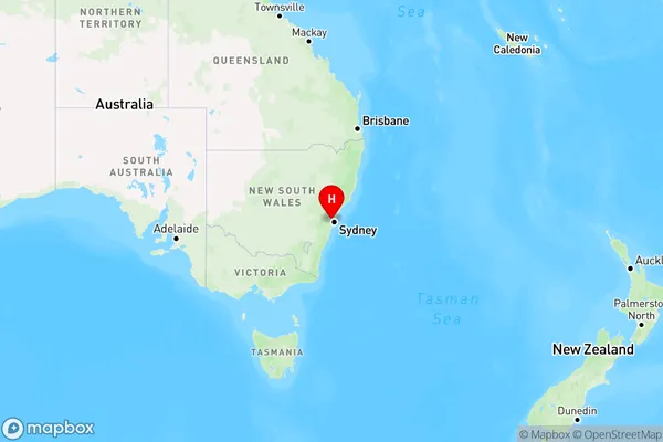
Old Toongabbie Region Map

Country
Main Region in AU
R1Coordinates
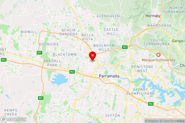
-33.787,150.966 (latitude/longitude)Old Toongabbie Area Map (Street)

Longitude
150.959508Latitude
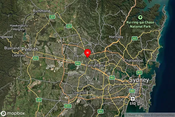
-33.789374Old Toongabbie Suburb Map (Satellite)

Distances
The distance from Old Toongabbie, Sydney - Parramatta, NSW to AU Greater Capital CitiesSA1 Code 2011
12504149320SA1 Code 2016
12504149320SA2 Code
125041493SA3 Code
12504SA4 Code
125RA 2011
1RA 2016
1MMM 2015
1MMM 2019
1Charge Zone
N1LGA Region
CumberlandLGA Code
12380Electorate
Parramatta