Woodpark Area, Woodpark Postcode(2164) & Map in Woodpark, Sydney - Parramatta, NSW
Woodpark Area, Woodpark Postcode(2164) & Map in Woodpark, Sydney - Parramatta, NSW, AU, Postcode: 2164
Woodpark, Guildford West - Merrylands West, Merrylands - Guildford, Sydney - Parramatta, New South Wales, Australia, 2164
Woodpark Postcode
Area Name
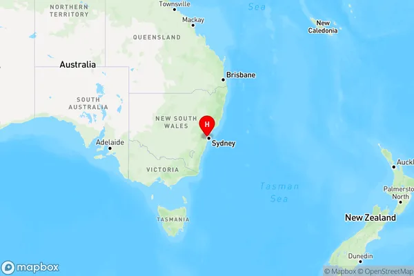
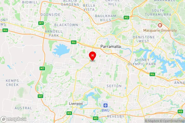
WoodparkWoodpark Suburb Area Map (Polygon)

Woodpark Introduction
Woodpark is a suburb in Sydney's west, located 22 kilometers from the CBD. It is part of the Parramatta local government area and is home to a diverse population. The suburb has a variety of housing options, including apartments, units, and houses. It also has several parks and recreational facilities, including a swimming pool, tennis courts, and a basketball court. Woodpark is well-connected to public transport, with buses and trains servicing the area. The suburb is also home to several major shopping centers, including Westfield Parramatta and Westfield Penrith.State Name
City or Big Region
District or Regional Area
Suburb Name
Woodpark Region Map

Country
Main Region in AU
R1Coordinates
-33.841827,150.962577 (latitude/longitude)Woodpark Area Map (Street)

Longitude
150.875028Latitude
-33.844153Woodpark Elevation
about 73.71 meters height above sea level (Altitude)Woodpark Suburb Map (Satellite)

Distances
The distance from Woodpark, Sydney - Parramatta, NSW to AU Greater Capital CitiesSA1 Code 2011
12503148429SA1 Code 2016
12503148429SA2 Code
125031484SA3 Code
12503SA4 Code
125RA 2011
1RA 2016
1MMM 2015
1MMM 2019
1Charge Zone
N1LGA Region
FairfieldLGA Code
12850Electorate
McMahon