Bonnyrigg Heights Area, Bonnyrigg Heights Postcode(2177) & Map in Bonnyrigg Heights, Sydney - South West, NSW
Bonnyrigg Heights Area, Bonnyrigg Heights Postcode(2177) & Map in Bonnyrigg Heights, Sydney - South West, NSW, AU, Postcode: 2177
Bonnyrigg Heights, Bonnyrigg Heights - Bonnyrigg, Fairfield, Sydney - South West, New South Wales, Australia, 2177
Bonnyrigg Heights Postcode
Area Name
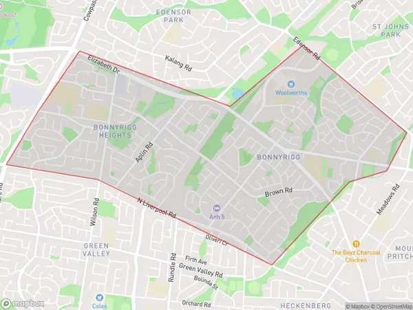
Bonnyrigg HeightsBonnyrigg Heights Suburb Area Map (Polygon)

Bonnyrigg Heights Introduction
Bonnyrigg Heights is a suburb in Sydney's south-west, located 16 kilometres from the city centre. It is known for its large population of Asian immigrants and has a variety of shops, restaurants, and parks. The suburb also has a significant Muslim population and is home to several mosques. Bonnyrigg Heights is well-connected to public transport, with several bus routes and a train station nearby.State Name
City or Big Region
District or Regional Area
Suburb Name
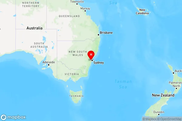
Bonnyrigg Heights Region Map

Country
Main Region in AU
R1Coordinates
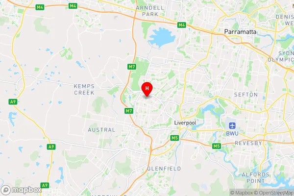
-33.89112,150.87206 (latitude/longitude)Bonnyrigg Heights Area Map (Street)

Longitude
150.879379Latitude
-33.895053Bonnyrigg Heights Elevation
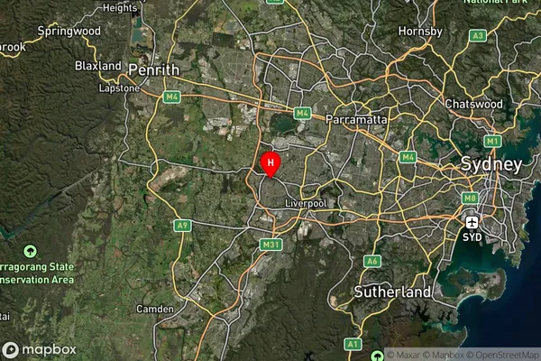
about 48.04 meters height above sea level (Altitude)Bonnyrigg Heights Suburb Map (Satellite)

Distances
The distance from Bonnyrigg Heights, Sydney - South West, NSW to AU Greater Capital CitiesSA1 Code 2011
12702150904SA1 Code 2016
12702150904SA2 Code
127021509SA3 Code
12702SA4 Code
127RA 2011
1RA 2016
1MMM 2015
1MMM 2019
1Charge Zone
N1LGA Region
FairfieldLGA Code
12850Electorate
Werriwa