Wetherill Park Dc Area, Wetherill Park Dc Postcode(1851) & Map in Wetherill Park Dc, Sydney - South West, NSW
Wetherill Park Dc Area, Wetherill Park Dc Postcode(1851) & Map in Wetherill Park Dc, Sydney - South West, NSW, AU, Postcode: 1851
Wetherill Park Dc, Smithfield - Wetherill Park, Fairfield, Sydney - South West, New South Wales, Australia, 1851
Wetherill Park Dc Postcode
Area Name
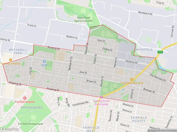
Wetherill Park DcWetherill Park Dc Suburb Area Map (Polygon)

Wetherill Park Dc Introduction
Wetherill Park DC is located in the southwest of Sydney and is a suburb of the City of Canada Bay. It is bordered by the M5 Motorway, the Hume Highway, and the Georges River. The area was originally inhabited by the Darug people and was named after the Wetherill Park Ironworks, which operated from 1884 to 1912. The suburb has a variety of housing styles, including detached houses, townhouses, and apartments. It is home to a number of parks and recreational facilities, including Wetherill Park Sports Complex, which has a number of sports fields and courts. The area is also well-serviced by public transport, with bus routes to the city and other suburbs.State Name
City or Big Region
District or Regional Area
Suburb Name
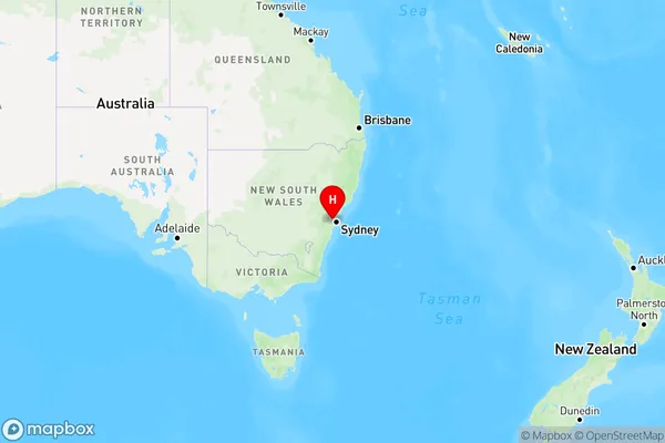
Wetherill Park Dc Region Map

Country
Main Region in AU
R1Coordinates
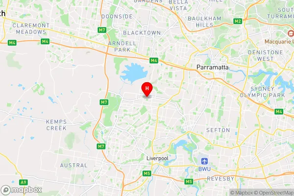
-33.8498,150.911 (latitude/longitude)Wetherill Park Dc Area Map (Street)

Longitude
150.911Latitude
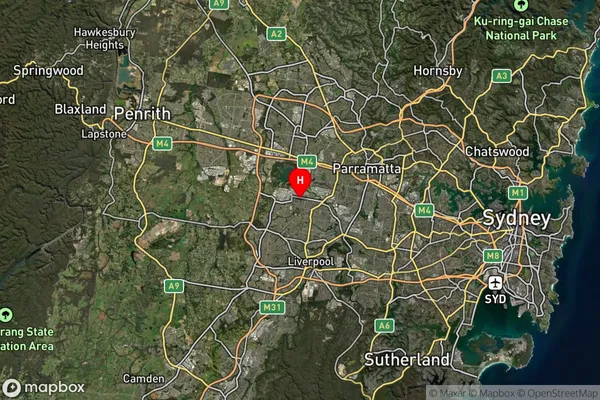
-33.8498Wetherill Park Dc Suburb Map (Satellite)

Distances
The distance from Wetherill Park Dc, Sydney - South West, NSW to AU Greater Capital CitiesSA1 Code 2011
12702151904SA1 Code 2016
12702151904SA2 Code
127021519SA3 Code
12702SA4 Code
127RA 2011
1RA 2016
1MMM 2015
1MMM 2019
1Charge Zone
N1LGA Region
FairfieldLGA Code
12850Electorate
McMahon