Badgerys Creek Area, Badgerys Creek Postcode(2555) & Map in Badgerys Creek, Sydney - South West, NSW
Badgerys Creek Area, Badgerys Creek Postcode(2555) & Map in Badgerys Creek, Sydney - South West, NSW, AU, Postcode: 2555
Badgerys Creek, Badgerys Creek, Bringelly - Green Valley, Sydney - South West, New South Wales, Australia, 2555
Badgerys Creek Postcode
Area Name
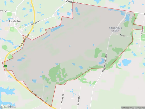
Badgerys CreekBadgerys Creek Suburb Area Map (Polygon)

Badgerys Creek Introduction
Badgerys Creek Airport is located in Sydney's south-west, serving the Sydney metropolitan area. It is the second-busiest airport in Sydney after Sydney Airport and is operated by Sydney Airport Corporation. The airport is located in the suburb of Badgerys Creek and provides scheduled and charter flights to a range of domestic and international destinations. It is also home to a number of aviation-related businesses and facilities, including maintenance, repair, and storage facilities.State Name
City or Big Region
District or Regional Area
Suburb Name
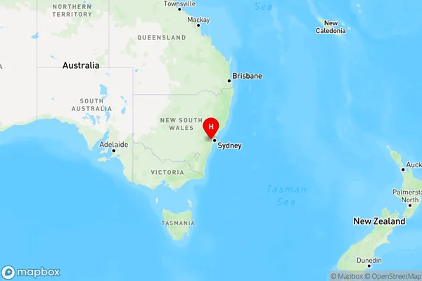
Badgerys Creek Region Map

Country
Main Region in AU
R1Coordinates
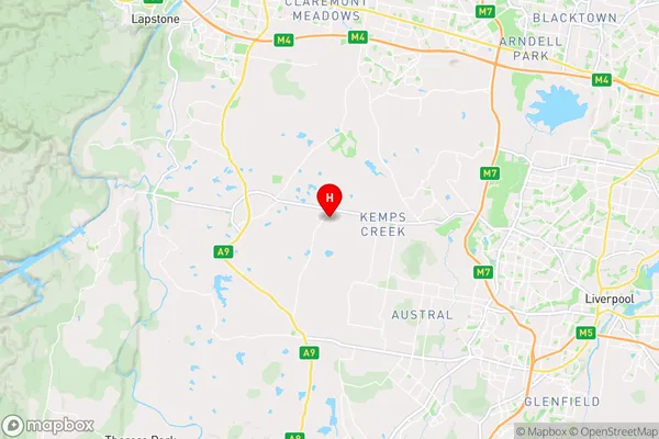
-33.8787051,150.7504879 (latitude/longitude)Badgerys Creek Area Map (Street)

Longitude
150.741351Latitude
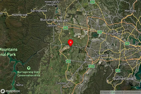
-33.883376Badgerys Creek Suburb Map (Satellite)

Distances
The distance from Badgerys Creek, Sydney - South West, NSW to AU Greater Capital CitiesSA1 Code 2011
12701150515SA1 Code 2016
12701159202SA2 Code
127011592SA3 Code
12701SA4 Code
127RA 2011
2RA 2016
2MMM 2015
2MMM 2019
2Charge Zone
N1LGA Region
LiverpoolLGA Code
14900Electorate
Werriwa