Austral Area, Austral Postcode(2179) & Map in Austral, Sydney - South West, NSW
Austral Area, Austral Postcode(2179) & Map in Austral, Sydney - South West, NSW, AU, Postcode: 2179
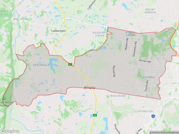
Austral, Austral - Greendale, Bringelly - Green Valley, Sydney - South West, New South Wales, Australia, 2179
Austral Postcode
Area Name
AustralAustral Suburb Area Map (Polygon)
Austral Introduction
Austral is a suburb in the South West of Sydney, New South Wales, Australia. It is located 34 kilometers from the Sydney central business district and is part of the Macarthur region. The suburb is named after the Austral River, which flows through it. Austral is a popular residential area with a mix of detached houses, townhouses, and apartments. It has a number of parks and recreational facilities, including a cricket club, a golf course, and a swimming pool. The suburb is also home to a number of major businesses, including a manufacturing plant and a distribution center.State Name
City or Big Region
District or Regional Area
Suburb Name
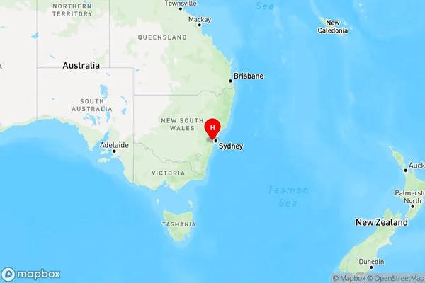
Austral Region Map
Country
Main Region in AU
R1Coordinates
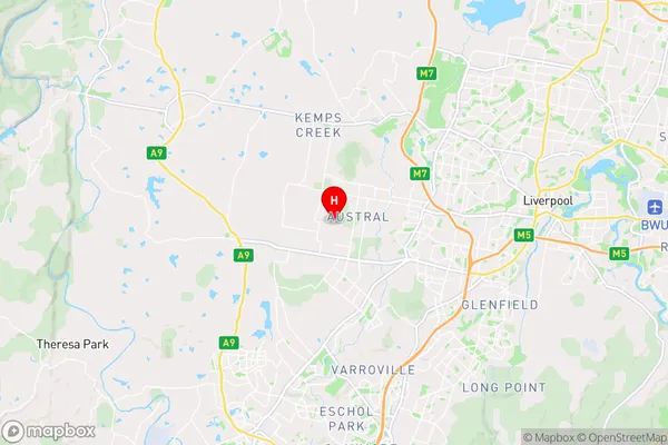
-33.93109,150.79361 (latitude/longitude)Austral Area Map (Street)
Longitude
150.812031Latitude
-33.933109Austral Elevation
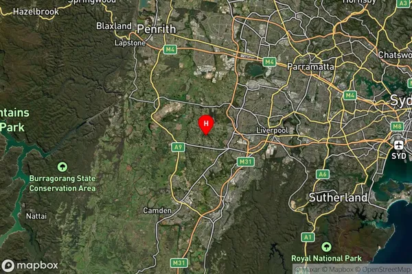
about 82.47 meters height above sea level (Altitude)Austral Suburb Map (Satellite)
Distances
The distance from Austral, Sydney - South West, NSW to AU Greater Capital CitiesSA1 Code 2011
12701150502SA1 Code 2016
12701150502SA2 Code
127011505SA3 Code
12701SA4 Code
127RA 2011
1RA 2016
1MMM 2015
1MMM 2019
1Charge Zone
N1LGA Region
LiverpoolLGA Code
14900Electorate
Werriwa