Waitaki Suburbs & Region, Waitaki Map & Postcodes in Waitaki, Otago
Waitaki Postcodes, Waitaki ZipCodes, Waitaki , Waitaki Otago, Waitaki Suburbs, Waitaki Region, Waitaki Map, Waitaki Area
Waitaki Region
Waitaki Suburbs
Waitaki is a district place type in Otago, NZ. It contains 23 suburbs or localities.Waitaki district
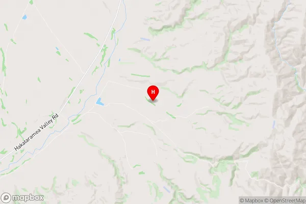
WaitakiWaitaki Region Map
Waitaki Introduction
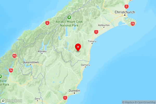
Waitaki is a small town located in the Otago region of New Zealand, situated on the banks of the Waitaki River. It is known for its stunning natural scenery, including the snow-capped mountains of the Southern Alps and the fertile farmland surrounding the town. The town has a population of around 10,000 people and is a popular destination for tourists and outdoor enthusiasts. It is home to several popular attractions, including the Waitaki District Museum, the Oamaru Blue Penguin Colony, and the Arai Huka Reserve.Waitaki Region
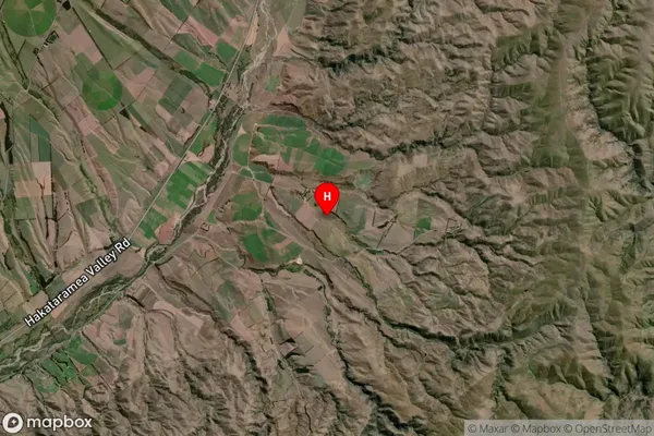
Waitaki Satellite Map
Full Address
Waitaki, OtagoWaitaki Coordinates
-44.6511315,170.6578355 (Latitude / Longitude)Waitaki Map in NZ
NZ Island
South IslandCountry
Waitaki Suburbs (Sort by Population)
Waitaki Suburbs (Sort in alphabetical)
Deborah
Duntroon
Enfield and Surrounds
Five Forks and Surrounds
Hampden
Herbert
Kakanui
Kurow
Lake Ohau
Maheno
Moeraki
North Otago
North Otago Surrounds
Oamaru
Omarama
Otematata
Palmerston
Pukeuri
Richmond
Totara
Waianakarua
Waihemo
Weston