Herbert Suburbs & Region, Herbert Map & Postcodes in Herbert, Waitaki, Otago
Herbert Postcodes, Herbert ZipCodes, Herbert , Herbert Otago, Herbert Suburbs, Herbert Region, Herbert Map, Herbert Area
Herbert Region (Otepopo, Waimotu Region)
Herbert Suburbs
Herbert is a suburb place type in Waitaki, Otago, NZ. It contains 4 suburbs or localities.Herbert Postcodes
Herbert district
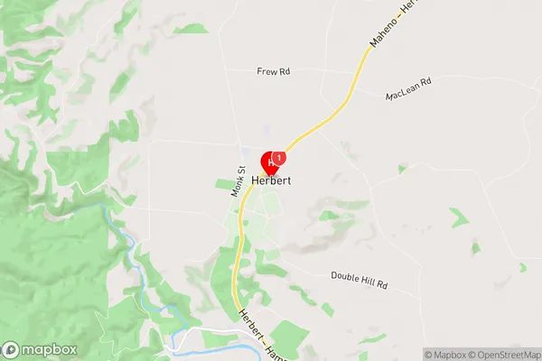
WaitakiHerbert Region Map
Herbert Introduction
Herbert is a small township in Otago, New Zealand, located 20 kilometers southeast of Dunedin. It is situated on the banks of the Taieri River and is known for its scenic views and peaceful atmosphere. The area was first settled in the 1860s by German immigrants and has a rich history of farming and forestry. Today, Herbert is a popular tourist destination and home to a variety of businesses and recreational facilities, including a golf course, a bowling club, and a hotel. The town also hosts a number of events throughout the year, including the Herbert Classic Car Rally and the Taieri River Festival.Herbert Region
Herbert City
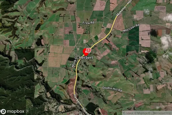
Herbert Satellite Map
Full Address
Herbert, Waitaki, OtagoHerbert Coordinates
-45.223196,170.787502 (Latitude / Longitude)Herbert Map in NZ
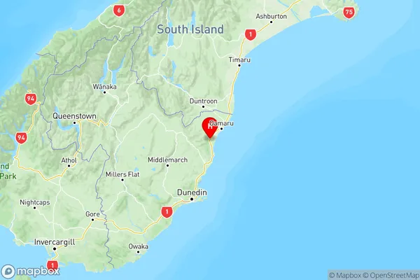
NZ Island
South IslandCountry
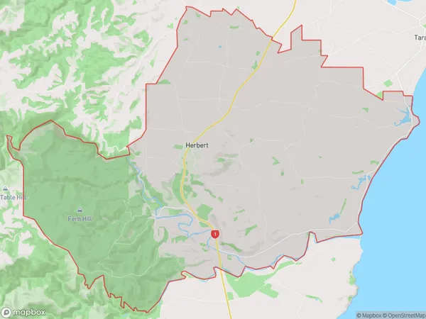
Herbert Area Map (Polygon)
Name
HerbertAdditional Name
Otepopo, WaimotuLocal Authority
Waitaki District
Herbert Suburbs (Sort by Population)
Herbert
Herbert - 443Mount Stalker
Mount Stalker - 32The Dasher
The Dasher - 2Mount Fortune
Mount Fortune - 2