The Dasher Area, The Dasher Postcode & Map in The Dasher
The Dasher Area, The Dasher Postcode & Map in The Dasher, Waitaki District,
The Dasher, Waitaki District,
The Dasher Area (estimated)
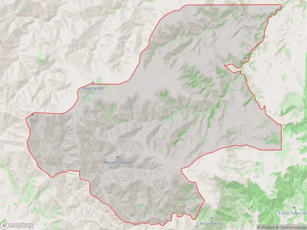
168.1 square kilometersThe Dasher Population (estimated)
2 people live in The Dasher, Oamaru, NZThe Dasher Suburb Area Map (Polygon)
The Dasher Introduction
Herbert was a schooner that was built in 1875 in Dunedin, New Zealand. In 1884, she was wrecked in the Otago Harbour while carrying a cargo of timber. The wreck is a popular diving spot and is located near the Otago Peninsula.Region
Major City
Suburb Name
The DasherThe Dasher Area Map (Street)
Local Authority
Waitaki DistrictFull Address
The Dasher, Waitaki District,Address Type
Locality in Major Locality HerbertThe Dasher Suburb Map (Satellite)
Country
Main Region in AU
OtagoThe Dasher Region Map
Coordinates
0,0 (latitude/longitude)Distances
The distance from The Dasher, Herbert, Waitaki District to NZ Top 10 Cities