Kurow Suburbs & Region, Kurow Map & Postcodes in Kurow, Waitaki, Otago
Kurow Postcodes, Kurow ZipCodes, Kurow , Kurow Otago, Kurow Suburbs, Kurow Region, Kurow Map, Kurow Area
Kurow Region
Kurow Suburbs
Kurow is a suburb place type in Waitaki, Otago, NZ. It contains 3 suburbs or localities.Kurow district
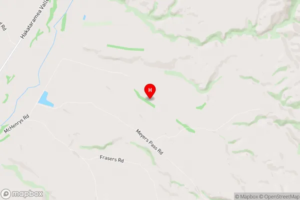
WaitakiKurow Region Map
Kurow Introduction
Kurow is a small town located in the Otago region of New Zealand. It is situated on the banks of the Kurow River, about 35 kilometers south of Dunedin. The town has a population of around 1,200 people and is known for its scenic surroundings, including the Kurow Forest Park and the surrounding mountains. Kurow is a popular destination for outdoor enthusiasts, with many opportunities for hiking, skiing, and fishing. The town also has a historic railway station, which is now a museum.Kurow Region
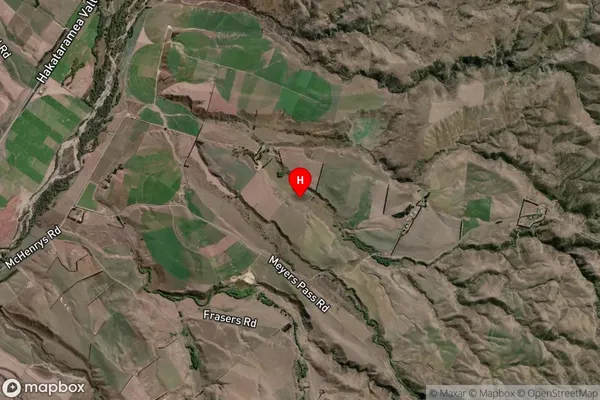
Kurow Satellite Map
Full Address
Kurow, Waitaki, OtagoKurow Coordinates
-44.6511315,170.6578355 (Latitude / Longitude)Kurow Map in NZ
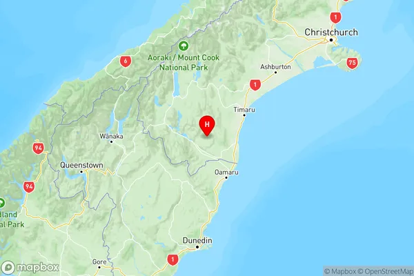
NZ Island
South IslandCountry
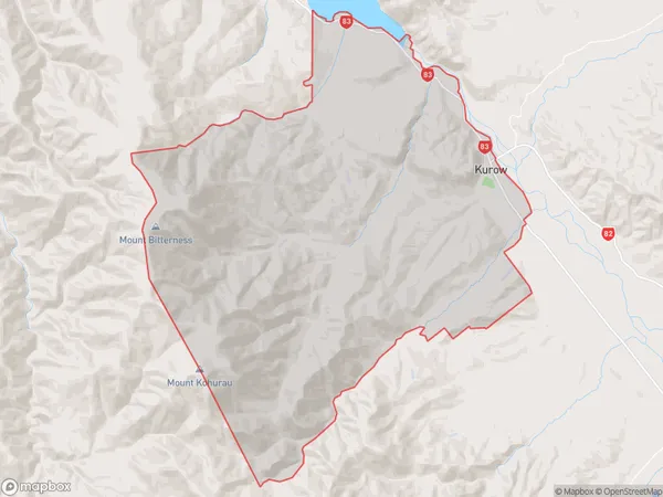
Kurow Area Map (Polygon)
Name
KurowAdditional Name
Local Authority
Waitaki District
Kurow Suburbs (Sort by Population)
Kurow
Kurow - 456Hakataramea
Hakataramea - 144Aviemore
Aviemore - 4