Aviemore Area, Aviemore Postcode(9435) & Map in Aviemore
Aviemore Area, Aviemore Postcode(9435) & Map in Aviemore, Waitaki District, New Zealand
Aviemore, Waitaki District, New Zealand
Aviemore Postcodes
Aviemore Area (estimated)
198.0 square kilometersAviemore Population (estimated)
4 people live in Aviemore, Canterbury, NZAviemore Suburb Area Map (Polygon)

Aviemore Introduction
Aviemore is a small town in the Canterbury region of New Zealand, known for its scenic surroundings, including the Aviemore Forest Park and the surrounding mountains. It is a popular destination for outdoor activities such as skiing, hiking, and fishing, and is home to a number of tourist attractions, including the Aviemore Cheese Factory and the Ravensbourne National Park.Region
Major City
Suburb Name
AviemoreOther Name(s)
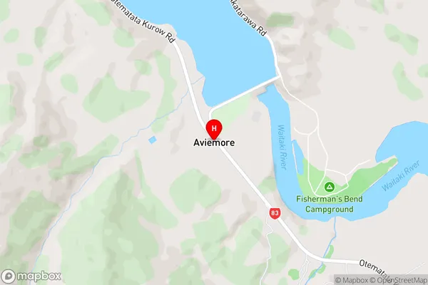
WharekuriAviemore Area Map (Street)
Local Authority
Waitaki DistrictFull Address
Aviemore, Waitaki District, New ZealandAddress Type
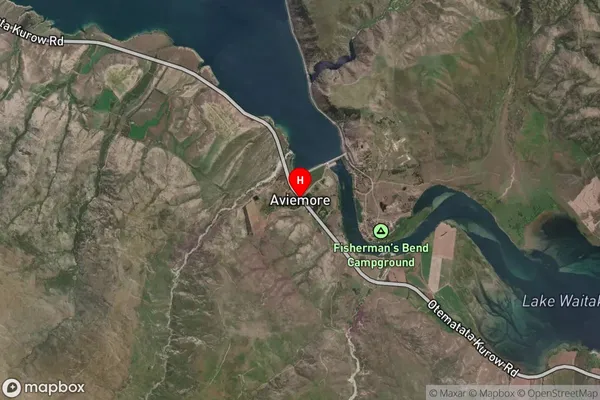
Locality in Major Locality KurowAviemore Suburb Map (Satellite)
Country
Main Region in AU
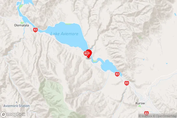
CanterburyAviemore Region Map
Coordinates
-44.6607289,170.3493342 (latitude/longitude)Distances
The distance from Aviemore, Kurow, Waitaki District to NZ Top 10 Cities