Totara Suburbs & Region, Totara Map & Postcodes in Totara, Waitaki, Otago
Totara Postcodes, Totara ZipCodes, Totara , Totara Otago, Totara Suburbs, Totara Region, Totara Map, Totara Area
Totara Region (Whitecraig Region)
Totara Suburbs
Totara is a suburb place type in Waitaki, Otago, NZ. It contains 0 suburbs or localities.Totara district
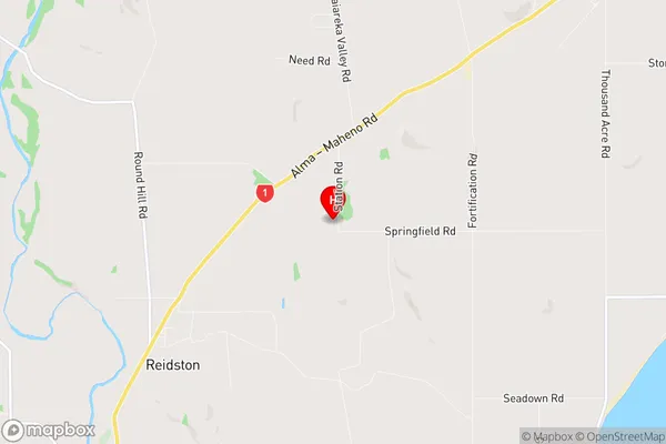
WaitakiTotara Region Map
Totara Introduction
Totara is a small town located in the Otago region of New Zealand. It is situated on the banks of the Otago River, approximately 30 kilometers south of Dunedin. The town has a population of around 1,000 people and is known for its scenic surroundings, including the Totara Forest and the surrounding hills. Totara has a primary school, a post office, a convenience store, and a community hall. The town is also home to a number of historic buildings, including the Totara Hotel, which was built in 1878. The area around Totara is popular for outdoor activities such as hiking, fishing, and skiing, and the town is surrounded by beautiful countryside.Totara Region
Totara City
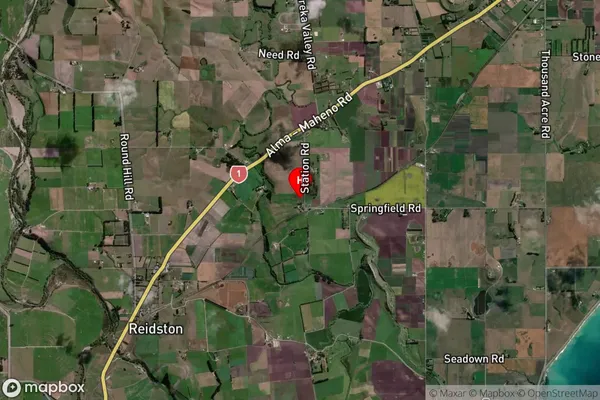
Totara Satellite Map
Full Address
Totara, Waitaki, OtagoTotara Coordinates
-45.136846,170.876129 (Latitude / Longitude)Totara Map in NZ
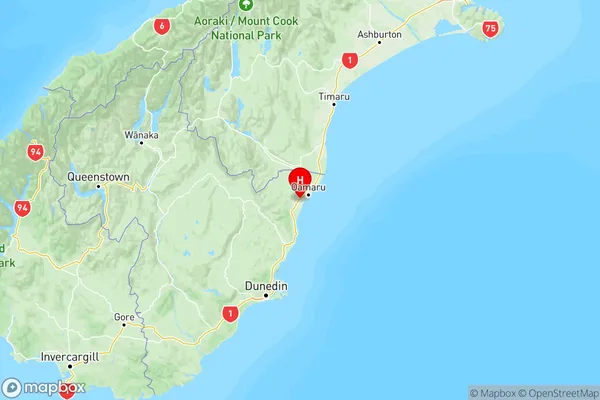
NZ Island
South IslandCountry
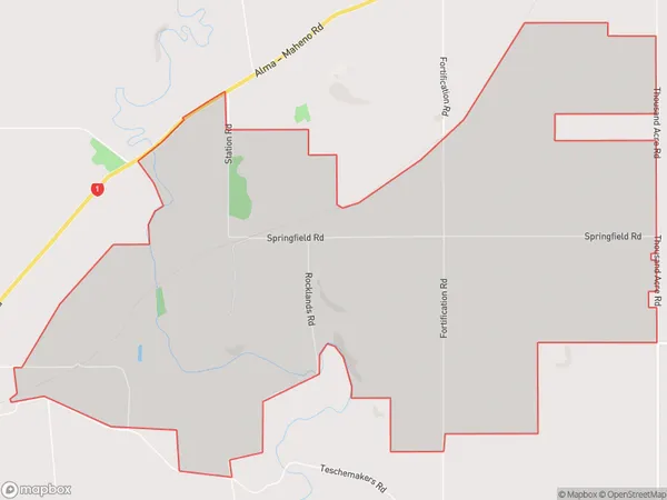
Totara Area Map (Polygon)
Name
TotaraAdditional Name
WhitecraigLocal Authority
Waitaki District
Totara Suburbs (Sort by Population)
Totara also known as Whitecraig. Totara suburb has around
11.4 square
kilometers.There are more than 87 people (estimated)
live in Totara, Oamaru, Otago, New Zealand.