Totara Area, Totara Postcode & Map in Totara
Totara Area, Totara Postcode & Map in Totara, Waitaki District,
Totara, Waitaki District,
Totara Area (estimated)
11.4 square kilometersTotara Population (estimated)
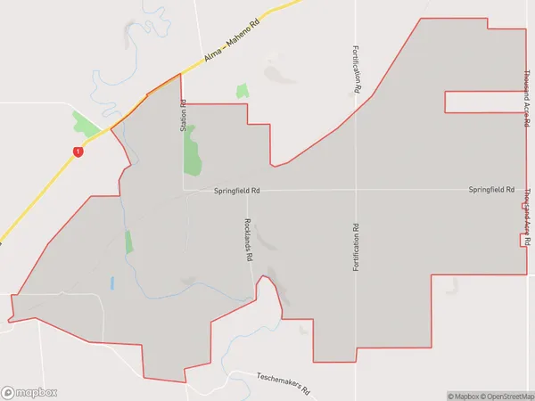
87 people live in Totara, Oamaru, NZTotara Suburb Area Map (Polygon)
Totara Introduction
Oamaru is a historic Victorian town located in the North Otago region of New Zealand. It is well-known for its stunning architecture, including the Oamaru Blue Stone Building, the Otago Settlers Museum, and the Victorian Theatre. The town also has a rich cultural heritage, with a strong Maori influence, and is home to the annual Oamaru Victorian Heritage Festival.Region
Major City
Suburb Name
TotaraOther Name(s)
WhitecraigTotara Area Map (Street)
Local Authority
Waitaki DistrictFull Address
Totara, Waitaki District,Address Type
Locality in Town OamaruTotara Suburb Map (Satellite)
Country
Main Region in AU
OtagoTotara Region Map
Coordinates
0,0 (latitude/longitude)Distances
The distance from Totara, Oamaru, Waitaki District to NZ Top 10 Cities