Weston Suburbs & Region, Weston Map & Postcodes in Weston, Waitaki, Otago
Weston Postcodes, Weston ZipCodes, Weston , Weston Otago, Weston Suburbs, Weston Region, Weston Map, Weston Area
Weston Region
Weston Suburbs
Weston is a suburb place type in Waitaki, Otago, NZ. It contains 0 suburbs or localities.Weston Postcodes
Weston district
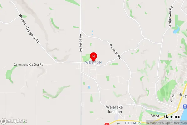
WaitakiWeston Region Map
Weston Introduction
Weston is a small town in Otago, New Zealand, located on the banks of the Clutha River. It is known for its historic buildings, including the Weston Town Hall and the Old Bank Building, and for its scenic surroundings, including the Weston Forest Park and the Clutha Valley. The town has a population of around 3,000 people and is a popular tourist destination, particularly during the summer months.Weston Region
Weston City
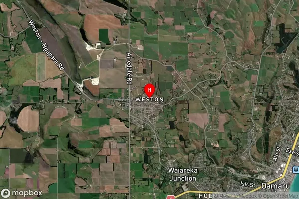
Weston Satellite Map
Full Address
Weston, Waitaki, OtagoWeston Coordinates
-45.078783,170.925064 (Latitude / Longitude)Weston Map in NZ
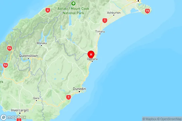
NZ Island
South IslandCountry
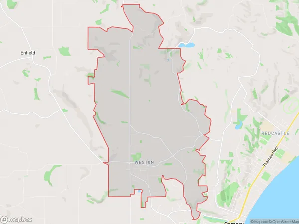
Weston Area Map (Polygon)
Name
WestonAdditional Name
Local Authority
Waitaki District
Weston Suburbs (Sort by Population)
Weston suburb has around
28.1 square
kilometers.There are more than 1393 people (estimated)
live in Weston, Oamaru, Otago, New Zealand.