Palmerston Suburbs & Region, Palmerston Map & Postcodes in Palmerston, Waitaki, Otago
Palmerston Postcodes, Palmerston ZipCodes, Palmerston , Palmerston Otago, Palmerston Suburbs, Palmerston Region, Palmerston Map, Palmerston Area
Palmerston Region
Palmerston Suburbs
Palmerston is a city place type in Waitaki, Otago, NZ. It contains 1 suburbs or localities.Palmerston district
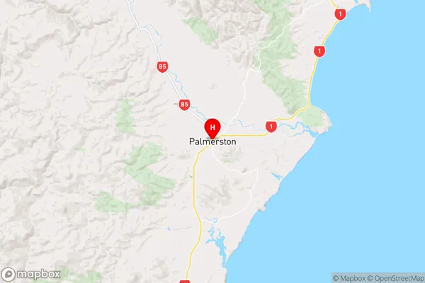
WaitakiPalmerston Region Map
Palmerston Introduction
Palmerston is a small town in Otago, New Zealand, located on the Manawatu River. It is known for its historic buildings, including the Old Bank Building and the Palmerston North City Library. The town has a population of around 5,000 people and is a popular tourist destination, particularly for its scenic surroundings and outdoor activities. Palmerston also has a strong agricultural sector, with a number of farms and vineyards in the surrounding area.Palmerston Region
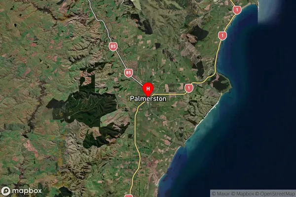
Palmerston Satellite Map
Full Address
Palmerston, Waitaki, OtagoPalmerston Coordinates
-45.484244,170.715319 (Latitude / Longitude)Palmerston Map in NZ
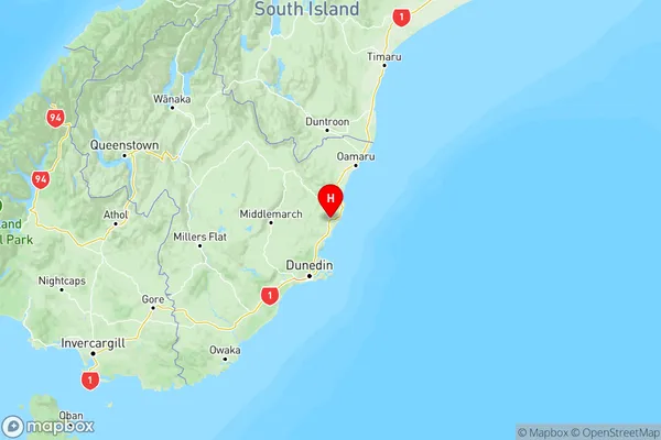
NZ Island
South IslandCountry
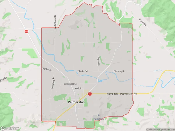
Palmerston Area Map (Polygon)
Name
PalmerstonAdditional Name
Local Authority
Waitaki District
Palmerston Suburbs (Sort by Population)
Palmerston suburb has around
33.6 square
kilometers.There are more than 1045 people (estimated)
live in Palmerston, Palmerston, Otago, New Zealand.
Palmerston Suburbs (Sort in alphabetical)
Stoneburn