Waynes Area, Waynes Postcode(9410) & Map in Waynes
Waynes Area, Waynes Postcode(9410) & Map in Waynes, Waitaki District, New Zealand
Waynes, Waitaki District, New Zealand
Waynes Postcodes
Waynes Area (estimated)
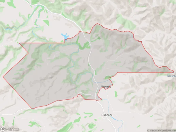
35.1 square kilometersWaynes Population (estimated)
46 people live in Waynes, Otago, NZWaynes Suburb Area Map (Polygon)
Waynes Introduction
Waynes is a small rural community in Otago, New Zealand, located on the banks of the Clutha River. It is known for its beautiful scenery, historic buildings, and friendly locals. The area has a rich history, with early settlers arriving in the 1860s to farm the land. Today, Waynes is a popular tourist destination, with visitors coming to explore the nearby hiking trails, scenic drives, and historic sites.Region
Major City
Suburb Name
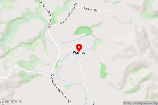
WaynesWaynes Area Map (Street)
Local Authority
Waitaki DistrictFull Address
Waynes, Waitaki District, New ZealandAddress Type
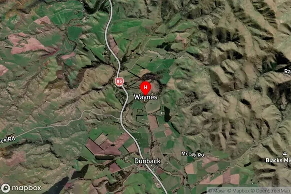
Locality in Town PalmerstonWaynes Suburb Map (Satellite)
Country
Main Region in AU
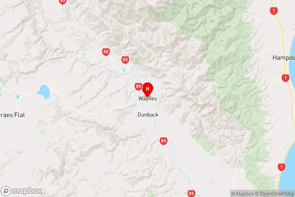
OtagoWaynes Region Map
Coordinates
-45.3660015,170.6269184 (latitude/longitude)Distances
The distance from Waynes, Palmerston, Waitaki District to NZ Top 10 Cities