Dunback Area, Dunback Postcode & Map in Dunback
Dunback Area, Dunback Postcode & Map in Dunback, Waitaki District, New Zealand
Dunback, Waitaki District, New Zealand
Dunback Area (estimated)
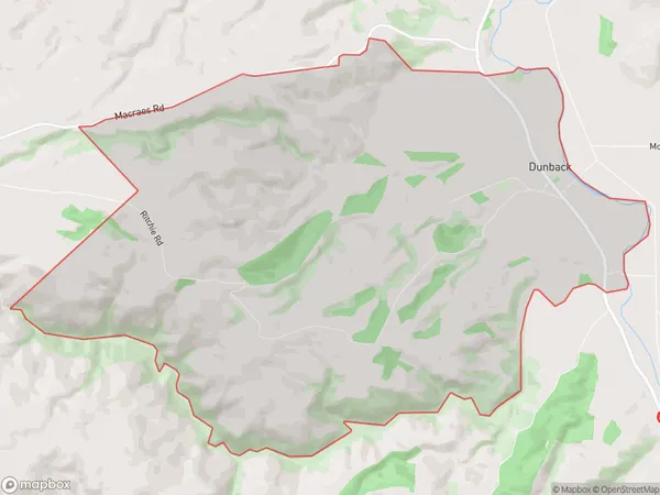
19.3 square kilometersDunback Population (estimated)
70 people live in Dunback, Otago, NZDunback Suburb Area Map (Polygon)
Dunback Introduction
Dunback is a small rural community in Palmerston, Otago, New Zealand. It is located on the banks of the Manawatu River, approximately 12 kilometers south of Palmerston North. The area was first settled in the 1860s by Scottish settlers and has a rich history of farming and forestry. Today, Dunback is a popular tourist destination and home to a number of historic buildings and landmarks.Region
Major City
Suburb Name
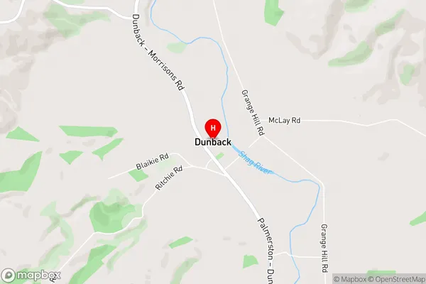
DunbackDunback Area Map (Street)
Local Authority
Waitaki DistrictFull Address
Dunback, Waitaki District, New ZealandAddress Type
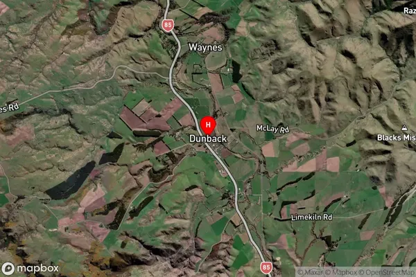
Locality in Town PalmerstonDunback Suburb Map (Satellite)
Country
Main Region in AU
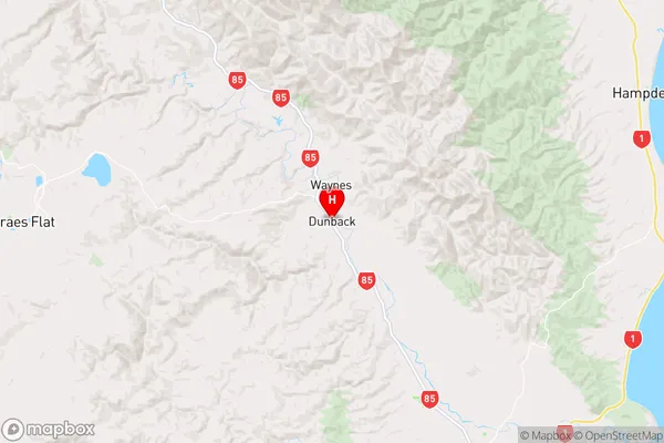
OtagoDunback Region Map
Coordinates
-45.3818969,170.6275859 (latitude/longitude)Distances
The distance from Dunback, Palmerston, Waitaki District to NZ Top 10 Cities