Shag Point Area, Shag Point Postcode & Map in Shag Point
Shag Point Area, Shag Point Postcode & Map in Shag Point, Waitaki District, New Zealand
Shag Point, Waitaki District, New Zealand
Shag Point Area (estimated)
27.7 square kilometersShag Point Population (estimated)
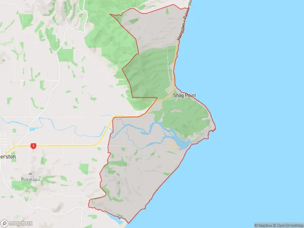
93 people live in Shag Point, Otago, NZShag Point Suburb Area Map (Polygon)
Shag Point Introduction
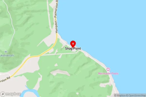
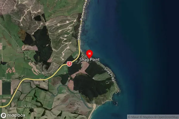
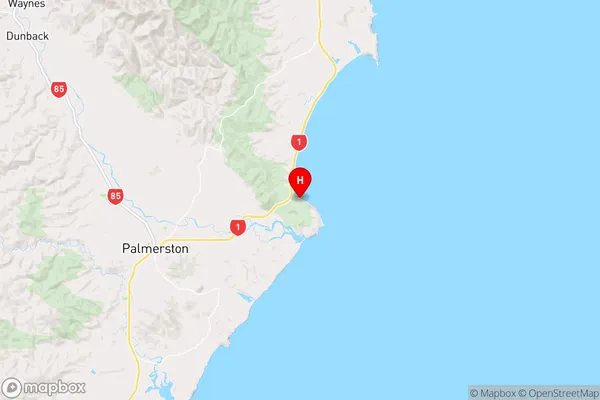
Shag Point is a rocky headland located at the southern end of Palmerston Beach in Otago, New Zealand. It is a popular spot for fishing, with a long history of human settlement dating back to the early 1800s. The point is also known for its stunning coastal views and diverse wildlife, including seals, penguins, and albatrosses.Region
Major City
Suburb Name
Shag PointOther Name(s)
Shag PtShag Point Area Map (Street)
Local Authority
Waitaki DistrictFull Address
Shag Point, Waitaki District, New ZealandAddress Type
Locality in Town PalmerstonShag Point Suburb Map (Satellite)
Country
Main Region in AU
OtagoShag Point Region Map
Coordinates
-45.460913,170.814786 (latitude/longitude)Distances
The distance from Shag Point, Palmerston, Waitaki District to NZ Top 10 Cities